Gallatin Beach, Eagle Lake

Gallatin Beach and Peak, July 1960.

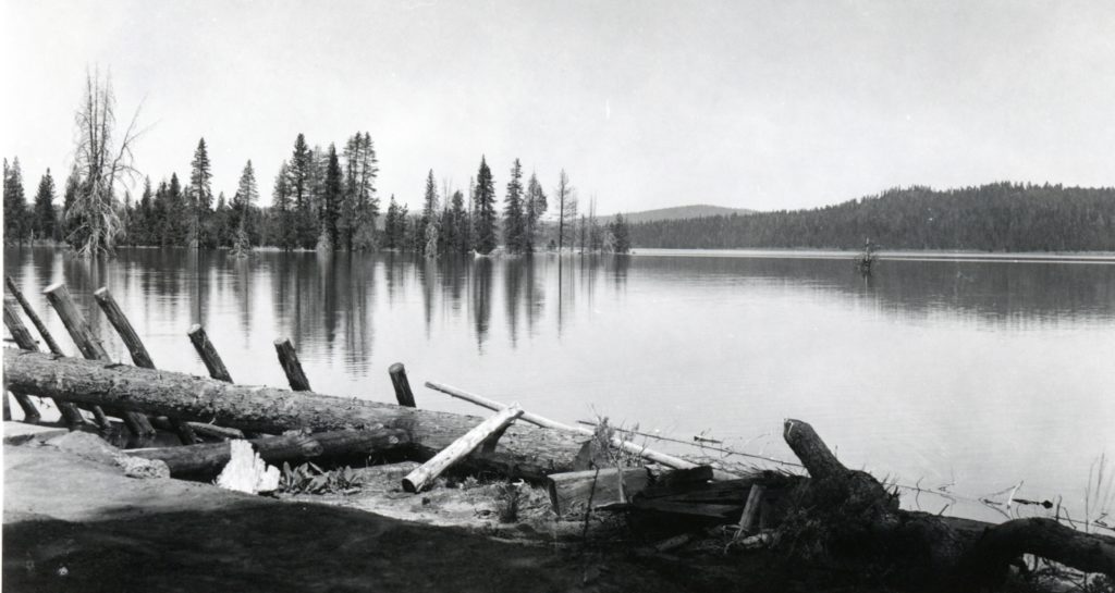
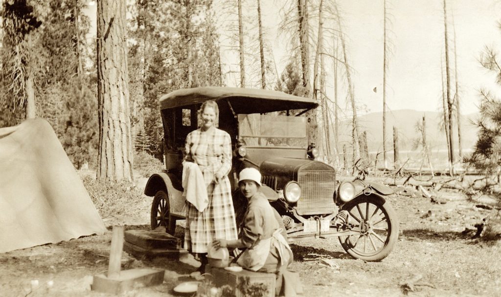
Long before Gallatins appeared on the scene the south shore of Eagle Lake was a popular gathering place during the summer. A perfect example appeared in the columns of the Lassen Advocate newspaper of July 11, 1874: “Quite a number of our citizens spent their fourth at Eagle Lake, where they had fine times, fishing, hunting, sailing, etc.”

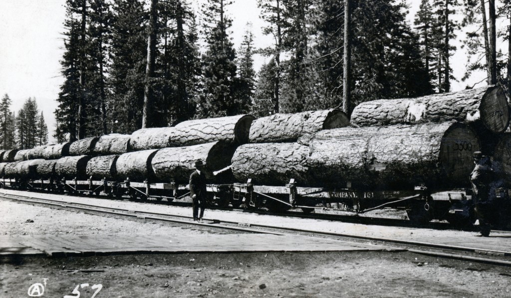
On August 1, 1886, Sacramento businessman, Albert Gallatin purchased 165 acres on Eagle Lake’s south shore from George Nelson for $400. In the next two years Gallatin would purchase 4,962 acres in the Eagle Lake basin, owning not quite all the shoreline property what we refer to today as Eagle’s Nest to Bucks Point. The property was used for summer livestock grazing in-conjunction with a ranch he owned in Tehama County.

Eagle Lake Campers, circa 1916—D.M. Durst

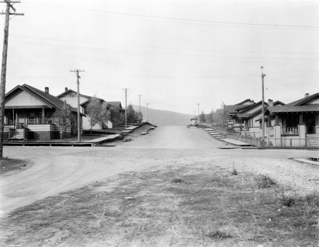
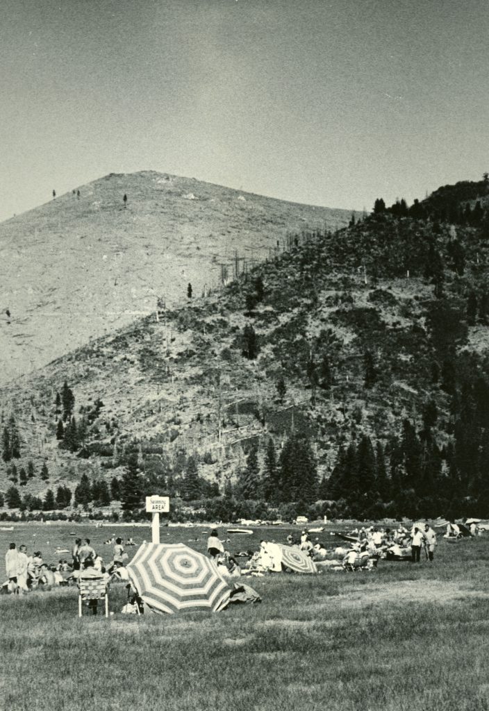
Fast forward to 1913, Gallatin’s widow, Malvena built the first summer home at Eagle Lake, which is now part of Camp Ronald McDonald. Malvena had entertained from time to time either lease camp sites or other developments at the south shore, but never followed through. In July 1924 Malevna wrote to Lassen County officials to protest a proposed timber tax: “The public has been allowed access to these lands for camping, bathing, boating, and fishing at all times. The Gallatin Beach and a large part of the shoreline property has been used for years by the public. It might be called a public playground.”

Tomorrow the Gallatin House Effect

Support

Some One Has A Keen Eye

log train Camp B
Train load of logs leaving Camp B, Fruit Growers Supply Company, 1922

A reader noticed recently the logs depicted above where on railroad flat cars belonging to the Red River Lumber Company. Fruit Growers found it to be more economical to lease flat cars from the Southern Pacific Railroad, who transported the same from Westwood Junction to the Fruit Grower’s mill in Susanville. Fruit Growers initial operations in the early 1920s, experienced a flat car shortage with Southern Pacific. Red River being a good neighbor obliged to provide Fruit Growers with flat cars until the matter could be resolved with Southern Pacific.

Another point I might add, the above was not a typical load of logs. These type of images, are common among lumber companies. They were used to show investors, bankers and the lot the most premium logs, to show them where the money was being spent. In Fruit Growers case, this photograph would be published in a portfolio to show the citrus growers where their money was used to provide them wooden boxes to ship citrus.

Support

Hog Flat Reservoir

Hog Flat Reservoir, April 1940. Courtesy of Lola L. Tanner

Note: With Hog fire raging out of control just west of Susanville. I went into the archives to retrieve a past post on the origin of Hog Flat Reservoir. Normally, Tuesday is a dark day for the daily post, this is an exception.

Constructed in 1889 as part of Benjamin Leavitt’s expanding reclamation enterprise and now part of the Lassen Irrigation District. Lassen National Forest Service Supervisor, A. G. Brenneis, wrote an article about the origin of its name that was published in the California Ranger, August 1938: “Many years ago the residents of Honey Lake Valley joined together to start the Susan River Irrigation District and, as a first step, began the construction of the dams at the present sites of Hog Flat and McCoy Flat Reservoirs. The first winter this country received heavy storms and as a result the dam at Hog Flat was destroyed. The entire meadow, which should have been a lake was covered with a rank growth of vegetation and in order to salvage something from the reservoir, the farmers of the district banded together, placed a huge herd of hogs on the meadow, fattened them, and made some money to repay them for the loss of the dam. Ever since then the reservoir has carried its name of Hog Flat.”

 Subscribe!

Did You Know?

Cinder Cone, 1967—National Park Service

While Lassen Volcanic National Park is known for its many hydrothermal features, and of course, Lassen Peak as a volcano. Many visitors and area residents are not aware that inside the park, there is not only the Lassen Peak volcano, but more. What is unique is there are four different types of volcanoes in the park. To me that is amazing to have such in a small area.

We begin with Prospect Peak, shield volcano, a broad dome with sloping sides. Next is Brokeoff Mountain, which is unique in the fact it is a remnant of ancient Mount Tehama. This is what is known as a composite volcano—conical shape buildup of many layers of lava and ash. Cinder Cone derives its name as a cinder cone volcano that was formed when a single vent violently shoots gas charged lava into the air and falls back as cinder rock. Last but not least, is Lassen Peak. It is one of the largest plug dome volcanoes in the world. Its formed by slow moving lava and bulbous formation.

There is your geology lesson for the day, enjoy your surroundings!

Spread the word, and encourage a friend to subscribe.

THE STRANGE Fate of Isadore Meyerwitz

In 1987 an informal regatta was held on Honey Lake.

In 1849, a Russian Jew by name of Isadore Meyerwitz journeyed to San Francisco from Alabama. Within a year’s time he became acquainted with Peter Lassen. Somewhere along the line, he married an Indian woman, whose name and from what tribe is not known.

Meyerwitz was among the first settlers in the Honey Lake Valley and in 1856 filed a land claim near where Baxter Creek enters Honey Lake. In July 1856, Meyerwitz along with a fellow by the name of Sailor Jack decided to build a sail boat out of a wagon box. It was a a crude affair and some suggested they were crazy to actually launch it. The advice was ignored and Meyerwitz with his wife, Sailor Jack, George Lathrop, R.J. Scott and Daniel Reed decided to take the craft on Honey Lake. They were victimized by strong gusty winds, causing the boat to capsize. Members of the party clung to the boat. Lathrop eventually let go to make an attempt to swim back to shore. After swimming as far as he could, Lathrop gave up in exhaustion. To his amazement when he stopped, he was able to stand up and discovered the water was only waist deep.

Meyerwitz and his wife drowned. They wore themselves out trying to cling to the boat. They could not swim and gave up in despair. Reed, Scott and Sailor Jack survived the incident when the boat drifted ashore. A search party formed a few days later to look for the two missing bodies along the shoreline, but they were never found.

Never miss a story, click here to subscribe.

Diamond Mountain Mining Revival

Lassen Mail, July 3, 1931

Mining goes through cycles, especially prone to boom and bust episodes. Gold mining on Diamond Mountain was no exception. Very little activity was done from World War I through the 1920s. During the depression of the 1930s, jobs and money were scarce. An interest in the abandoned mines on Diamond Mountain came to the forefront. The first venture was Diamond Mountain Mines, Inc., a group of Susanville businessmen. This company focused on seven different old mines. Others, too, would join in the mining frenzy there during the 1930s. While no one was getting rich, money was made. In 1942, a presidential Executive Order put a halt on gold mining during World War II.

Support

Shasta Street—Then And Now

Shasta Street, 1923

The Lassen Townsite was a massive subdivision created in 1912 encompassing everything from Richmond Road to present day Johnstonville Road.

The first housing development occurred in 1918 on property south of the railroad encompassing the streets of Modoc, Orchard, Plumas, Shasta and Sierra. These homes were built by the Lassen Lumber & Box Company for their employees.

Shasta Street, April 15, 2020

A word of caution, the crossing over the above intersection can be hazardous to your car’s health and your mental health. As I proceeded across, a major dip in my Triumph it removed the exhaust system from it.

A Bank of America Problem

The second short-lived bank building.

Susanville’s second Bank of America building was a short-lived affair of the 1970s. When it opened in 1972, it introduced area residents with a new venue—a drive-up teller. It did not turn out so well. The problem was the Main Street entrance. Cars would be backed up into the right hand lane. Finally, it was not until the summer of 1978 when the bank corrected problem where customers would use an entrance from North Gay Street.

The experiment was short-lived. In 1979 Bank of America made preparations to replace that building with a new bank on the corner of North Gay and Nevada Streets. In 2017, Bank of America closed its Susanville branch.

Support

Ask Tim

Winje’s Emporium, Doyle, January 25, 2020

On a quarterly basis, I ask you the reader, if there is something you would like to learn more about or maybe its something you heard, but question its validity. So here is an opportunity to participate. I will do my best to answer any questions. It should be noted, it may take awhile for the answer to appear as a post. The primary reason, many of the daily posts are done nearly a month in advance. So by the time you read this I am already working on posts for the middle of August, or at least I should be. Whatever the case may be, I look forward to hearing from you. Of course, it should be noted that paid subscribers requests receive priority. In addition, you can always send a request at any time.

Tim

A.W. Keddie’s 1882 Map

The original map has color, the reprint of the book does not.

In 1882 saw the publication of one of the first histories of the area—Farris & Smith’s History of Plumas, Lassen & Sierra Counties. It was subsidized by selling biographical sketches for $75 to be included in the book. It should be noted the Lassen County segment was done by E.R. Dodge. Dodge remained in the area after the publication and even obtained a law degree. He was a major figure in the Eagle Lake Land & Irrigation Company of the early 1890s, that among other things was successful to pump water out of Eagle Lake and flowed all way to Amedee on the east side of Honey Lake.

Anyhow, I thought some might enjoy the map that appeared in the book. Of course, a lot of changes have occurred and notice the absence of man-made lakes such as Lake Almanor.

Support

Exploring Lassen County's Past