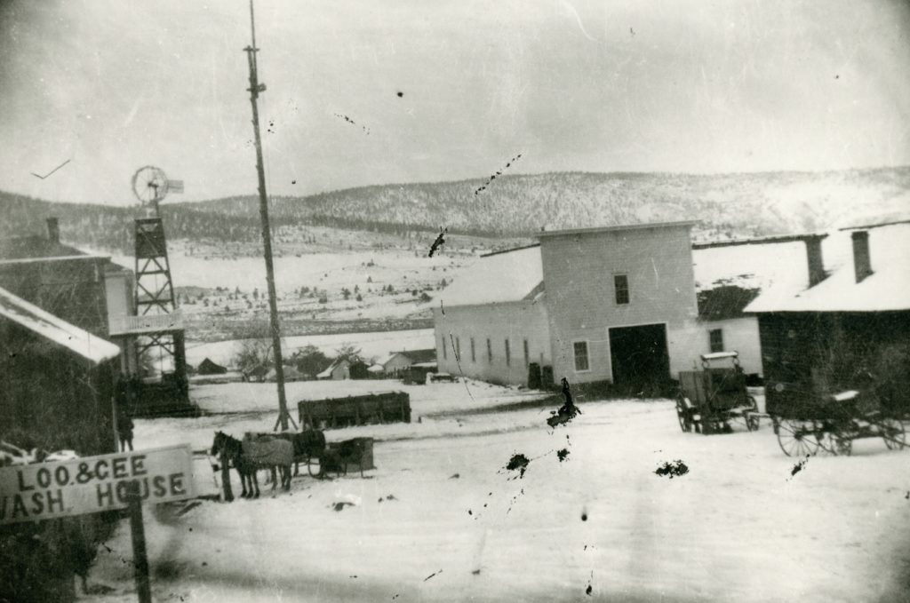
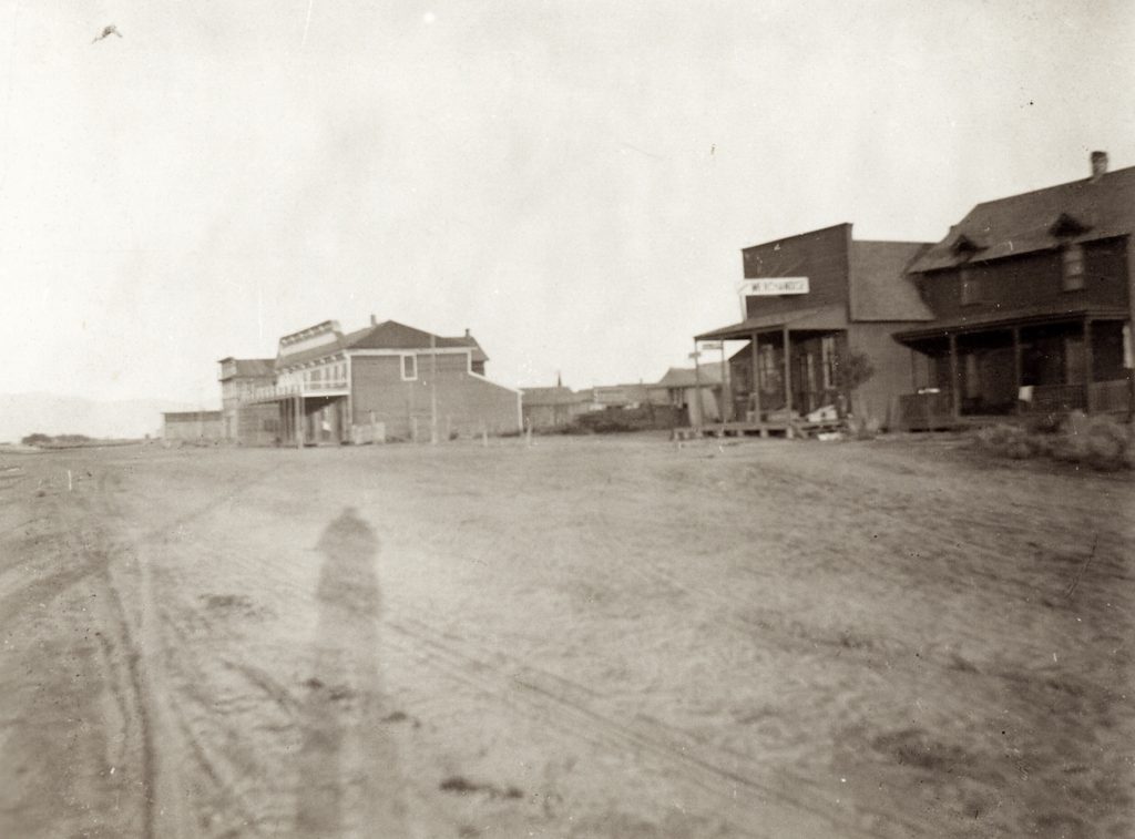
Susanville’s Gay Street, looking north, 1864. Courtesy of Gilbert Morrill
By the mid-1860s, Susanville had its very own Chinatown. It was located in the area of Main and Union Streets. It is interesting to note, where the current Elk’s Lodge is, it was owned by Chinese in 1864. Anyhow, this being Chinese New Year, the following is the earliest account of that event being held in Susanville.
Lassen Advocate – February 13, 1869 – “The celestial portion of our community have had a good time enjoying their New Year feast. It was ushered in by burning three bunches of fire crackers—superior size—at Main Street, much to the annoyance of our peaceable and quiet citizens. Rice, hog, gin, chickens and red paper are in great demand.”
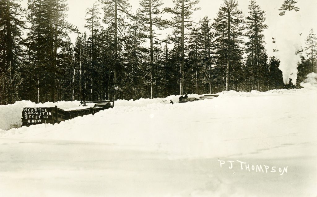
Approaching the summit of the Fernley & Lassen Railroad in 8 feet of snow, February, 1914—B.R. Zimmerman Collection
It was a very wet and snowy January 1914 in the Lassen region. There was so much snow on the ground, the ground hog, could not even make it to the surface, even if it wanted to see his shadow or not.
In January 1914 Susanville had received nine inches of rain, along with 93 inches of snow. The total precipitation for the month was 18.27 inches.
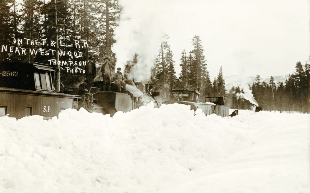
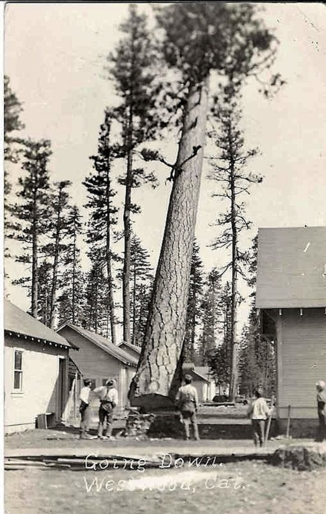
Approaching Westwood, the final destination, February 1914–B.R. Zimmerman Collection
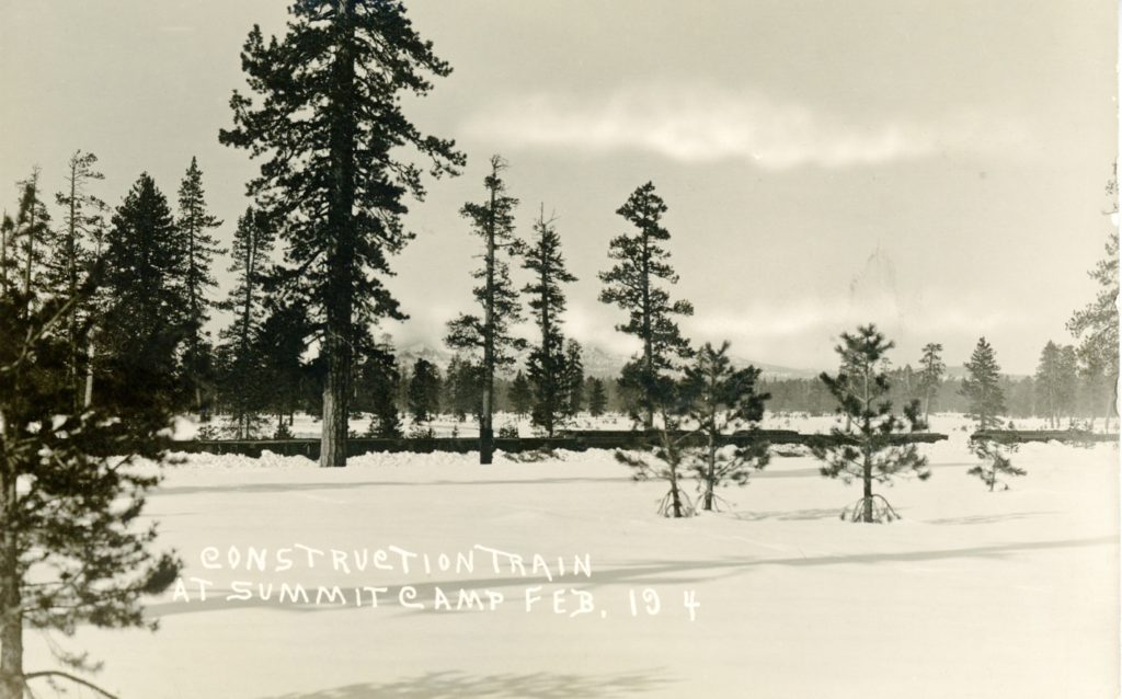
This is a good day as any to showcase these photographs of the construction of the Fernley & Lassen Railroad between Susanville and Westwood during that time. The snow depths in early February 1914, ranged from 8 to 10 feet.
In February 2012, a classified ad appeared in the Lassen County Times that a person had a small trunk of old photographs of the region. I called the number and it took several attempts. An elderly gentleman answered and said the trunk was found in an old barn in Richmond, Contra Costa County. It took several months before the trunk was shipped to me. It was twice the size, I was told, and when I examined the contents, which were photographs of the B.R. Zimmerman family, long time Susanville residents, I was thrilled. I did end up paying about $70 for the cost of sipping and it was worth every penny.
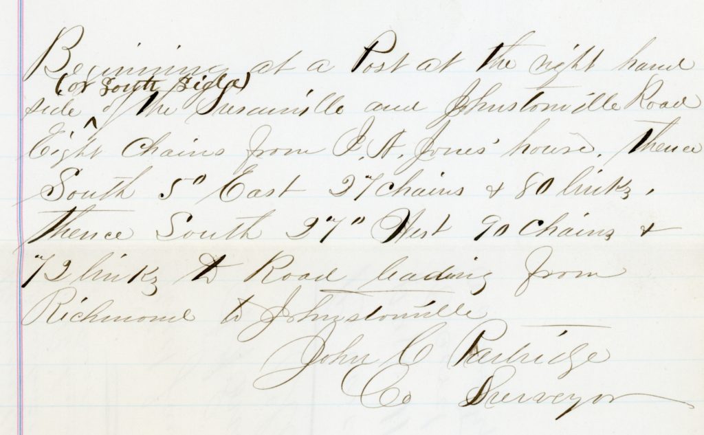
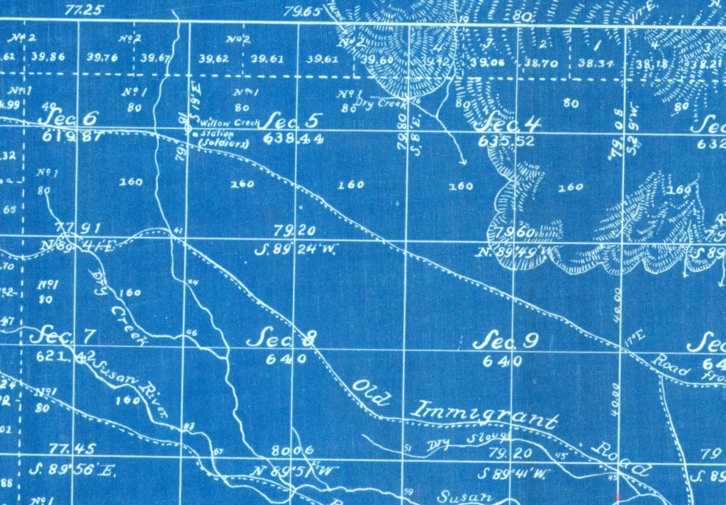
County Surveyor Patridge’s Field Notes recorded on June 5, 1869
Researching the Official Records of Lassen County can be challenging. The above is a perfect example how vague a document can be. The title of this document is confusing, too. “Field Notes of the Survey of County Road from Susanville and Johnstonville Road to Richmond and Susanville Road.”
John C. Partridge, spent two years as the Lassen County Surveyor. In 1871, after the U.S. Government Land Office established an office in Susanville, he was appointed to U.S. Deputy Surveyor. He spent five years conducting the initial Government Land Office surveys in the region.
Some years have a way for things to come together and that was the case for Spaulding Tract. On May 21, 2005 a dedication ceremony was held for the new $2.5 million Spaulding Marina.
In 2004, the property owners there approved to build a sewer system at an approximate cost of $10 million, which the community’s cost would be $8.8 million. In May 2005 it was announced that the Spaulding Tract Community Service District received a $1.8 million grant from the USDA as a part of rural development. With everything in place that summer they were ready to accept bids for the construction.
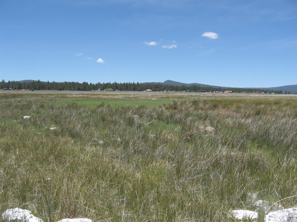
A view of Spalding Tract from the Eagle Lake shoreline,June 21, 2020.
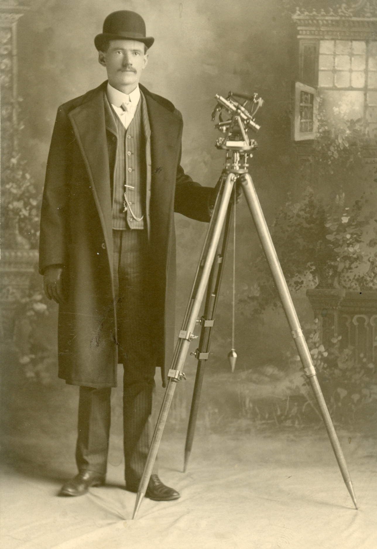
Personally, this east side Honey Lake Valley resident, is a fascinating figure and I relate to him in on many levels. He began his career first working for U.S.G.S. He did extensive travel in the western United States with that agency. In 1905, he was part of the survey team to survey the boundaries of Crater Lake National Park. He put together four albums of his work there, with detailed notes.* During this same time, his brother, Marvin, was lured to the sagebrush plain of eastern Honey Lake Valley, and took up a homestead that would later become the nucleus of the town of Stacy.
In time, Marvin convinced Carl to join him the reclamation enterprise there. Their first endeavor was a well-drilling business, since the new homesteaders arriving in the region would need wells for domestic purposes. Carl kept well logs, that information nearly a century later is an important resource. In addition, he monitored the flow of High Rock Springs to see how the wells affected its flows.
The big project in the region was the establishment of the Standish Water Company in 1910 and their intent to build a pumping plant to use the water of Honey Lake to reclaim the sagebrush lands. The company recruited Carl, as its engineer. Not only, did Carl oblige, he and his brother invested $20,000 towards the project. The project went bust for a number of reasons.
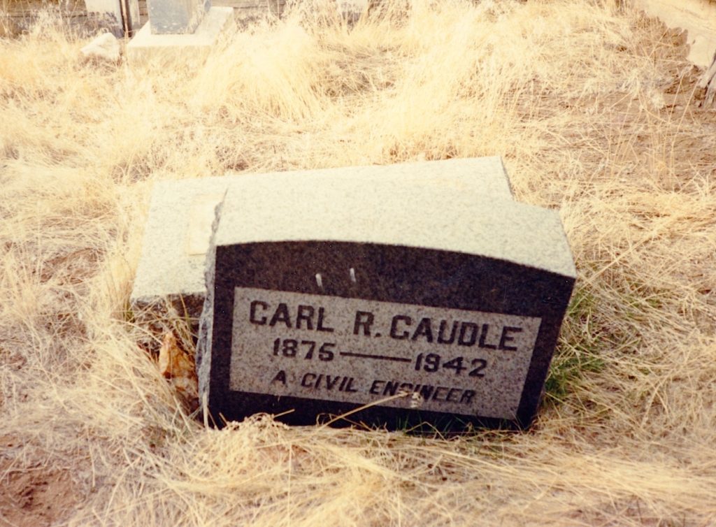
On the bright side, Caudles had a great well, that not only provided their domestic needs, but irrigation, too. The family carried on. During the height of the homestead era, Carl was busy as a surveyor to plot out each land claim. By 1920, the area was deserted and services as a engineer or surveyor were no longer needed. Nevertheless, Carl persevered. In the 1930s, the United States Army contacted Caudle for information on this portion of the Honey Lake Valley. Caudle’s knowledge not only paid off for him, but for the region as a whole. It was with his information and lobbying efforts that the government established the Sierra Army Depot in 1942. He never saw its complete development, or that of the community of Herlong for he died in his sleep at his Stacy home on August 4, 1942. He is buried in the nearby Honey Lake Cemetery, with other family members.
Carl Caudle’s grave, Honey Lake Cemetery.
*The albums have been donated to Crater Lake National Park.
Note: This post originally appeared in April 2016. While examining a Government Land Office survey map of 1882, it notes the location of the Soldier’s Station.
In the fall of 1856, Levi Breed set up a trading post on the Nobles Emigrant Trail where it crosses Willow Creek, just north where the current Lassen County road A-27 crosses Willow Creek. It was second such post for the Honey Lake Valley. The following year Breed located to Janesville and became that community’s largest merchant for a number of years.
Looking north along Willow Creek towards the site of Dragoon Bridge, April 19, 2016.
It was the military that came along next to locate on Breed’s abandoned post. In 1859, a military station, under the leadership of First Lt Milton T. Carr, A 1 Dragoons, was established at the Willow Creek crossing. Its main purpose was to protect the travelers on the Nobles Emigrant Road. This group consisted of twenty-four men from Fort Crook, Fall River Valley. “Dragoon” is the name for a mounted soldier or cavalryman.The following year, it was replaced by Soldier’s Bridge which was located further to the east and along the Susan River.
Never miss a story, click here to subscribe and support.
In 1922, the Modoc County Board of Supervisors did a bold act in an effort to control the wild horse population. At that time, they passed a resolution to allow the Modoc National Forest to round up stray horses on public land using the provisions under California Legislation under the various provisions of the Estray Acts.
George Lyons the Supervisor for the Modoc National Forest contacted W.G. Durbin of the Lassen National Forest for assistance with Lassen County officials, since a portion of the Modoc Forest extends into Lassen County.
On January 31, 1924 Durbin wrote to the Lassen County Board of Supervisors to pass resolution similar to Modoc. Durbin wrote: “For a number of years the Forest Service and stockmen of Modoc County have been trying to free the Modoc Forest of this class of stock and have gotten rid of most of it, except in that portion of the Forest Service extending from Willow Creek and Hayden Hill south to the Pitt River and east of Bieber. To a very large extent this stock is made up are commonly called fuzz-tails and are wither unbranded or of so little value that the owners do not care to go the expense or even gathering them and in some instances they will not claim them after they have been gathered.
”These animals consume and destroy range that is badly needed by the ranchers in the Big Valley country for their cattle. There is only one way of getting rid of this class of stock and that is to dispose of them under the State Estray Act.”
With the initial construction of Westwood in 1913, Fletcher Walker, Red River Lumber Company’s Resident Manager referred to the new community as the “City of Trees”. At that time, an order was issued not cut down any trees than necessary, just enough to clear building sites and streets. As one visitor to Westwood in 1913 noted, “The cottages are being built right among the pine trees, and the only clearance is where the trees have been cut to make way for the streets. The trees are so close together that one can only see a few houses at a time. Hence it is a city among the pines.”
No one was aware that the lofty pines would present a hazard until January 25,1914. The stormy weather began shortly after midnight and from all appearances was no different than any other storm the residents had endured. This all changed shortly before eleven o’clock in the morning. A ferocious windstorm struck the community. The gale force winds, while only lasting about five
minutes, wreaked havoc on Westwood and rattled the nerves of its
inhabitants. Over one hundred lofty pine trees snapped like kindling. One tree crashed on the roof of the cookhouse whose occupants were preparing the noon meal. A ten-room cottage under construction fell victim as well when a tree crashed into it, the force so great it tossed one of the carpenters into a snow bank. Several other cottages were destroyed, but luckily there were no other injuries. At two o’clock in the afternoon the residents gathered en mass at the Opera House to discuss what happened. A committee of three was selected to confer with Red River management to request all standing trees be removed immediately, as they felt threatened by them. So serious was their plea, should the company take no action many would quit and move elsewhere. Red River obliged and next morning removed a number of trees that they deemed posed a hazard.
Since no one replied to the recent Ask Tim post, Standish will be a topic. This is due in part while searching for a photograph of the water flume in the Susan River Canyon, I came across a portion of my manuscript on the early history of Standish. After reviewing the same, I can attest that my early writing skills were rough around the edges. At least the historical documentation was there!
In 1866 by Andrew Litch settled in the Honey Lake Valley having abandoned the Granite Creek Station. In 1868, Litch and Thomas J. French purchased the Shaffer Brothers Ranch (known today as Mapes). In 1874, the two men dissolved the partnership and split the ranch. In 1883, Litch moved to Reno, but kept the ranch, renting it out.
The Gibson/Haley Ranch, near Litchfield—John Gibson
In 1895, B.F. Gibson married Clara Litch, where he took over his father-in-law’s ranch. Gibson continued to make improvement and acquired additional property near Wendel known as the Purser Ranch. Gibson was also the main beneficiary of Ward Lake for a water supply. Descendants of the family continued to operate the ranch until 1975, when it was sold.