Tag Archives: Natural History

Susanville Shakes, 1889

Main Street, Susanville, 1885. Courtesy of Betty Barry Deal

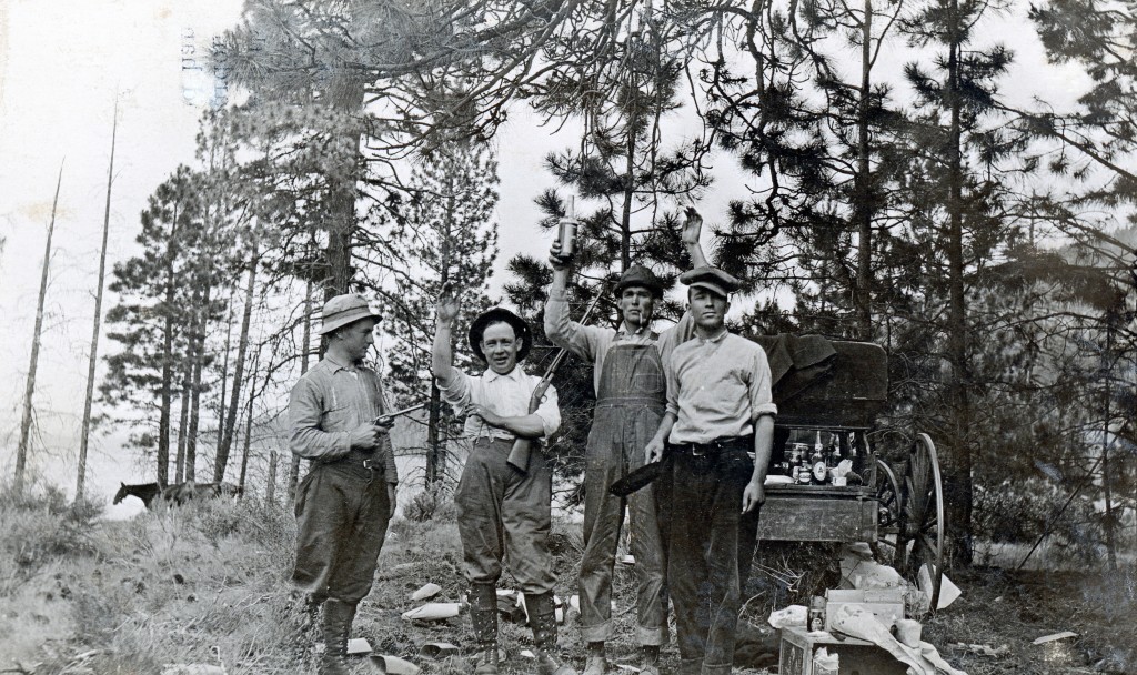
On the night of June 19, 1889 a substantial earthquake was felt in the region, followed by twenty-eight aftershocks. Of course, most everyone assumed the culprit was Lassen Peak. However, upon further investigation the epicenter was Eagle Lake.

Thomas Ford, editor of Bieber’s Mountain Tribune traveled to Susanville during the earthquake. Ford wrote: “Arriving at Susanville at six o’clock in the evening, we found things pretty shaky; experienced four shocks that night and was told that it had not been a very good night for earthquakes either. The people did not appear much disturbed by them; were going right along with their business as if nothing had happened, and were philosophically disposed to take their chances on what might happen. Many were the accounts or what had happened since the shaky season began—such as Eagle Lake sinking two feet, the waters of Willow Creek being higher than ever before, water in the reservoir muddy, ashes found in wells, beer shooting up fifteen feet out of the tank of Frank Runge’s brewery, etc. Different theories as to the causes of earthquakes were advanced, and when asked our opinion we replied that we were not acquainted with earthquakes, and did not desire a more intimate acquaintance or further introduction.”

Support

Lassen Peak Eruptions of 1914

Lassen Peak eruption, June 14, 1914. Courtesy of Dolores Gasperoni

On May 30, 1914 Lassen Peak’s long awaited volcanic eruption made its debut. For some it was not unexpected from the many frequent ‘rumblings” around the region. On Sunday June 14, 1914 the peak had its most dramatic eruption to date. An ashen plume of smoke was sent some 2,500 feet skyward.

Of course, there were lots of theories as to what was the cause of the eruptions. One of the most interesting came from the residents of Chester and Big Meadows—the latter being transformed into Lake Almanor. Some were under the impression that the filling of Lake Almanor that spring triggered the eruptions.

Whatever the case may be, activity did not slow down with 110 eruptions recorded by the end of the year. One thing that observers and scientists alike found perplexing was the lack of lava or incendiary evidence. That would change in 1915.

Support


Pine Creek Valley, Lassen County

Pine Creek Valley
Pine Creek Valley, June 18, 2015

Traveling across Highway 44, the Pine Creek Valley appears to be a desolate wind swept sagebrush flat, surrounded by pine trees. After all, the majority of human activity is concentrated at the Bogard Rest Station. By the way the area is named for John Jasper Bogard, a Tehama County stockman, who in the mid-1870s started using the area for summer grazing of sheep. Actually, the region was home to many sheep outfits, such as Champs, Cone, McCoy and Stanford, the latter as in Stanford University. These sheep outfits had a huge impact on western Lassen County, and so many of the natural features were named for them.  Continue reading Pine Creek Valley, Lassen County

Some Camp Fire Permit History

Happy campers at Eagle Lake, 1914.

In the early 1900s, saw the creation of the national forest reserves, that became the national forest. Each national forest had wide authority on regulating forest use. A classic example occurred in 1920 between the Lassen and Plumas National Forests. In the spring of 1920, the Plumas National Forest made camp fire permits mandatory, while the Lassen did not. The Plumas National Forest issued the following statement:

”The camp fire permit requirement is one move in an intensive campaign conducted by the forest service for the prevention, detection and suppression of fires during the coming summer. Following a succession of years in which the precipitation has been deficient, this season finds the forest service on highly flammable condition and the greatest possible care is imperative in the use of fire in the woods.”

Eagle Lake campers, 1920—D.M. Durst

Support


Cinder Cone, A New Fishing Hole?

On the trail to Cinder Cone, 1911—B.R. Zimmerman Collection

On May 13, 1926, Tom Massey, Joe Odette and John Solari invited Charles Adams on a fishing trip to Butte and Snag Lakes in the eastern segment of Lassen Volcanic National Park. Adams had no idea what kind of expedition this would be. After hiking around Butte Lake, then onto Snag Lake, something had to be done to look elsewhere since the fish did not seem to exist in these two lakes. It was decided to climb Cinder Cone in search of the wary trout. Needless to say it was a dry run, and Adams sighed that he would have been better off staying in Susanville.

Cinder Cone, 1911. Courtesy of B.R. Zimmerman Collection

Subscribe

The Annual Eagle Lake Fish Harvest

Pine Creek Fish Dam, April 4, 2019

During the late 1800s, there were a handful of individuals that each spring would go to Eagle Lake to harvest wagon loads of that lake’s famed trout, to bring back to Susanville to sale.

Susanville resident Med Arnold (1885-1967) provided an unusual account.  Med recalled an outing, either in 1895 or 1896, for their fishing expedition, they bypassed Eagle Lake and ventured to Pine Creek, near present day Bogard Rest Stop. It was in May and in several places they had to shovel through snow drifts.  Med stated, “We found literally thousands of those fine, big Eagle Lake trout all over the meadow. We scooped them out of the water with pitch forks. It was estimated that we caught around 800 pounds of fish. Upon arriving home the next day, we stopped in front of Hi Skadan’s livery stable (607 Main Street) and gave them nearly all way—two or three per person.”

What has puzzled me about these accounts, how did they keep the fish from spoiling?

Support

Fruit Grower’s Fire Lanes

Fire trail V-drag plow, 1929. Courtesy of Fruit Growers Supply Company

No doubt this winter there are many fire officials having discussions about last year’s horrendous fires. During the winter of 1924-25 Fruit Growers Supply Company officials plotted out a new course of fire prevention after a brutal forest fire season.

In 1925 Fruit Growers adopted a new method, building a series of fire lanes. The fire lanes were 100 feet wide and completely void of vegetation, each encircling 100-acre sections of timber. They were formed by a specialV-drag hooked to a 60-Caterpillar tractor which could clear up to six miles of fire lines a day. The lanes not only served as firebreaks, but provided quick access in an emergency.

During the fire season, two crews of eight to ten men worked as fire prevention team. It was their job to build fire lines, oversee brush and slash piling, remove dead snags and maintain the company’s private telephone lines. Telephone “boxes” were attached throughout the forest, allowing for daily monitoring between the logging camps and the mill. The telephone system was also used to report fire or an accident when medical aid was needed.

By the end of 1932, the 178 miles of fire lanes constructed over 26,000 acres had proved very effective. Even though three of the. seven years it took to build them were critical fire years, only 53 acres burned. From 1925 to1940, prevention cost $40,373.54, fire fighting only $7,546.65. During World War II the construction of fire lanes was abandoned.

Support


Where Are We—Amedee Mountains

Amedee Mountains, as seen from the former town of Amedee, January 26, 2020

Amedee Mountains has a way of blending with the Skedaddle Mountains. Its best known feature is the archaeological site known as Tommy Tucker Cave. In 1907 gold was discovered on the mountain, causing a miniature gold rush where more prospectors could be found on the mountain, then gold. Whatever the case may be, there was enough activity to form the Hot Springs Mining District.

Honey Lake, with Amedee and Skedaddle Mountains in the background, 1997.

Support

The Early History of Terminal Geyser

Terminal Geyser, 1960—Tom Glunt

Terminal Geyser, is a odd hydrothermal feature in Lassen Volcanic National Park,  located southeast of Boiling Springs Lake and Drakesbad.

In 1874, Dr. H.W. Harkness, who had come to inspect Cinder Cone, also paid Terminal Geyser a visit and wrote, “This geyser is ejecting boiling water to the height of ten feet.”  Harkness’ guide informed him that it originally had a height of twenty to twenty-five feet. The guide did not elaborate on what caused the reduction of the geyser’s eruption.

In June 1890, a Chico Enterprise correspondent provided this
observation: “The old geyser above Willow Lake which will be
remembered by many tourists, is now extinct. Every sign of steam, hot water or eruption has gone. This geyser has been in active operation perhaps for hundreds of years. It may be that it will break out with renewed force, or appear in some other place.”

Another visitor to the geyser in July 1897 wrote: “The water in this spring used to spout to a height of 16 feet, but now rises but 2 or 3 feet. It is said somebody rolled a large rock off the mountain into it, spoiling one of the best wonders of that section.”

During the 1920s and 1930s, Clinton Walker, one of the owners of the property, became distressed over visitors throwing rocks into the geyser, disturbing the eruptions.  It may be from these various accounts that someone finally applied the name “terminal” to this feature.

Spread the word, and encourage a friend to subscribe

A Perrenial Flooding Problem Solved

Looking east on Main Street, from Lassen High School, 1908.

Since time immemorial the lower end of Piute Creek naturally flooded. Where today’s Memorial Park is located there were two channels of the creek. In 1920s, this area was purposely flooded in the winter to allow for ice-skating. With the construction of Lassen High School, fill was brought in to start filling the low lying bottom areas near the creek. As more development continued in that area, saw more fill, thus obstructing the natural flow of the creek. When Memorial Park was created in 1947, it eliminated one of the natural channels of the creek.

Piute Creek flood of April 9, 1938. Courtesy of Margaret A. Purdy

In 1916 the bridge across Piute Creek on Main Creek was replaced with a culvert. During the winter and spring time. when the water was high debris would find its way down the creek and block the culvert, thus flooding the area of Memorial Park and vicinity. It was not until 1998 that the culvert issue modified and no more flooding.

Donate