Tag Archives: Natural History

Inspiration Point, 1892

May 18, 2016 tour. Courtesy of Martin Balding

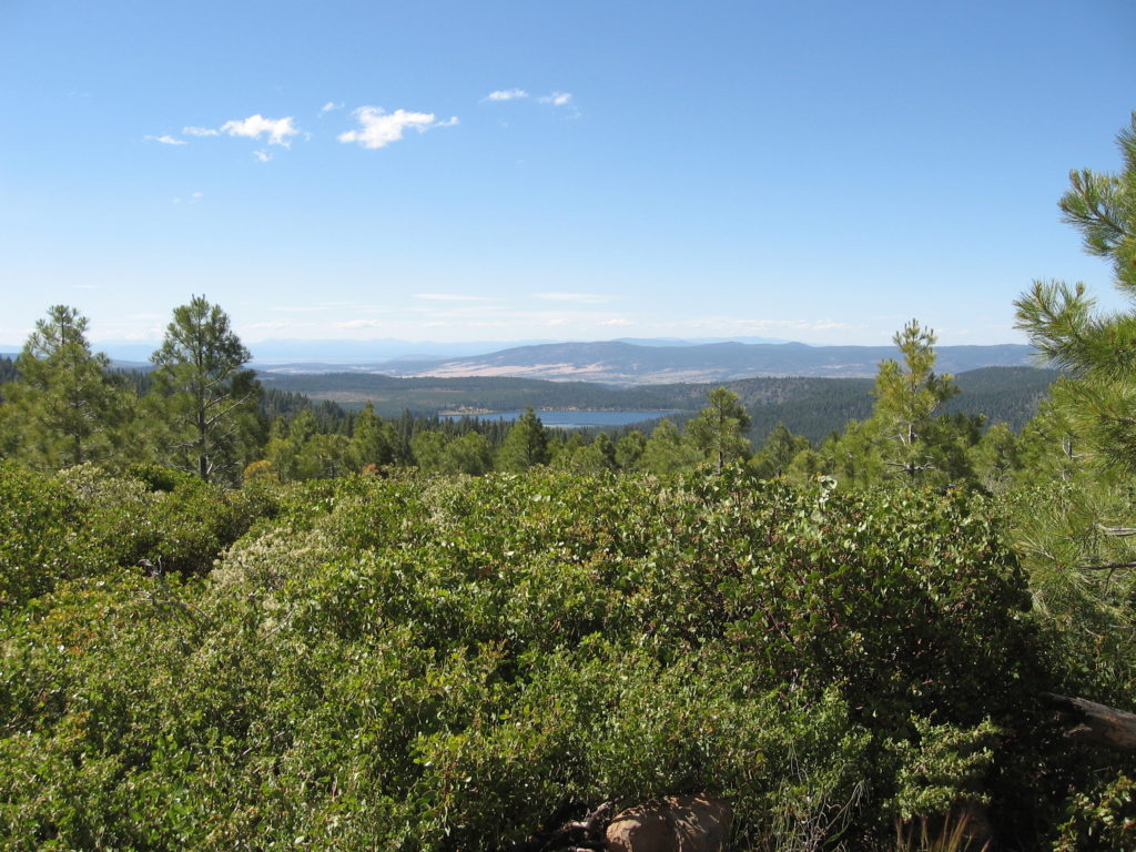
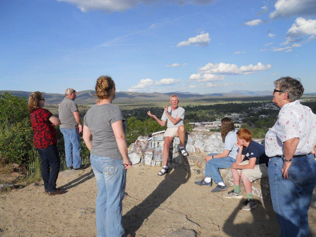
Susanville’s Inspiration Point is one of my favorite local spots. It also a place I like to take first time visitors to, so to get a better idea of the layout of the region, as there is so much to see. It has been awhile since I did an Inspiration Point tour, so may be this fall.

The following description is from the Lassen Advocate of March 31, 1892, that I thought some might enjoy:

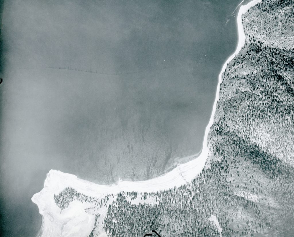
“A Beautiful View. Any clear, bright day, when the atmospheric conditions are favorable, a lovely view may be obtained of the upper end of the Honey Lake Valley, from the bluff at the back of Susanville. With the unaided eye one my see steam arising from the Hot Springs on the shores of Honey Lake, fifteen or twenty miles distant and plainly distinguish familiar objects and residences more than half that distance. Amedee might be seen but for an intervening spur of the mountains to the east. The view from the bluff is well worth seeing. In no other way may one obtain such a comprehensive idea of the extent of the western or upper end of Honey Lake Valley while the beauty of the scene will more than repay climbing of the hill.”

Subscribe

Pike’s Point Revisited

South shore of Eagle Lake, October 8, 1941 – Hank Martinez

Some may recall awhile back about this topic. A little update, since I have since received a better photograph showing the point during the low water era, which as you can tell provides a better understanding. For those you may have just tuned in Pikes Point is located at the south shore of Eagle Lake and most people know the location as the Eagle Lake Marina. The photograph shows all of Gallatin Beach to Eagle’s Next, prior that developments existence.

Donate

Eagle Lake Trout as a commodity

Eagle Lake trout, April 6, 1961. Courtesy of California Department of Fish & Game

During World War I food rationing was on a voluntary basis. The Lassen folks were a very patriotic bunch and a look back at the records one would thought it was mandatory. Since meat and wheat were two items to conserve some looked for alternatives.

Take for instance our neighbors in Washoe County. Arrangements were made to allow fish from the Truckee River and Pyramid Lake be harvested for market. This caught the attention of Susanville resident L.W. Boggs. He proposed that the same thing could be done with Eagle Lake bass and trout. Not only would this conserve beef and pork, but the fish would be good for the local diet. However, state law prohibited commercial fishing in lakes and streams. Boggs proposal never gained traction.

It should be noted that in the late 1800s wagon loads of Eagle Lake trout were caught and sold in Susanville at twenty-five cents a pound.

Never miss a story, click here to subscribe.

McClure Forest Fire

July 11, 2019

The 1945 forest fire season was a busy one, but acreage was minimal comparison to other years. The McClure Forest Fire was the largest in Lassen County for that year. The fire was spotted at 4:00 p.m. Sunday, September 2, 1945, just south of Big Jacks Lake. It spread quickly, fanned by hot dry winds. As the Fruit Growers Supply Company had two railroad logging camps in the area—Harvey and Stanford—with in no time they had 750 men on the fire line. The Lassen National Forest dispatched a crew of 50. Three days later the fire was contained. In all, 5440 acres was consumed, 4000 of which was virgin timber.

Map of the fire location.

Never miss a story, click here to subscribe.

Big Logs

log train Camp B
Train load of logs leaving Camp B, 1923–Courtesy of Dick & Helen Harrison

Yesterday’s topic was big timber before the arrival of the big mills. Well, that big timber became big logs. Camp B of the Fruit Growers Supply Company was located just north of McCoy Flat Reservoir. It was their second railroad logging and one of its largest. The camp operated from 1922 to 1925. Similar to Camp Harvey there are still remnants such as the concrete foundation of the commissary and service pits used to work on the locomotives.

Never miss a story, click here to subscribe.

Big Timber

Western Lassen County, circa 1915 prior to major logging by the Red River Lumber Company

The forested regions of northern Plumas County and western Lassen County remained in an almost virgin state until the early 1900s. Most of the logging done was for local consumption.

In 1849, an emigrant on the Lassen Trail noted that the forest could not be ignored and wrote, “The pine trees are 10 feet in diameter, and 200 feet high, are common sizes—and they are generally as straight as an arrow. Here the traveler may journey day after day, over needle-carpeted or grassy ground, mostly free of underbrush, amidst great clean shafts of really massive proportions, but giving a sense of lightness by reason of their color, symmetry and great height.”

Never miss a story, click here to subscribe.

Where are we —Big Jacks Lake

Big Jacks Lake, July 11, 2019

Big Jacks Lake presents a challenge as to how to describe where it is located. It is about six miles south of Dixie Valley, yet a lot of people are not aware of Dixie Valley is located. Big Jacks Lake is about eighteen miles northwest of Spalding Tract as the crow flies.

The size of the lake varies. In dry years it covers approximately twenty acres. In wet years it can swell up to over 300 acres. It was named prior to 1929 after Big Valley rancher, Hiram Courtney Jack (1878-1957). It should be noted that to the west is a Jack Lake and a Little Jack Lake.

Congratulations to Dave Zoller who correctly identified the lake.

Support

Merrill Flat Fire

Merrill Flat Fire, 1955

It was on Labor Day 1955 (Sept. 5) when a fire broke out near Merrill Flat, south of Eagle Lake. The cause, a lightning storm hit the area. Conditions were extremely dry, the worst since 1924. The fire spread rapidly towards Eagle Lake and it even reached the shoreline and destroyed a cabin and barn at the Eagle Lake Resort. Over 800 men were recruited to fight the fire. Just as Mother Nature was responsible for the fire, it helped extinguished it with a light rain fall on September 8. In all, 19,000 acres was consumed by the fire. 

Support

Visit Cinder Cone

Cinder Cone, 1911. Courtesy of B.R. Zimmerman Collection

With Labor Day behind us, this is an excellent time to check out Cinder Cone in the eastern portion of Lassen Volcanic National Park.  After all the temperatures are bit cooler, and you want to take this into consideration whether to hike just to the base of Cinder Cone, or take the trail to the top. Both options are good choices.

Were you aware that at Lassen Park, is one of the few places in the world where all four types of volcano can be found—plug dome, shield, stratovolcano and of course cinder cone. From various scientific evidence, it was determined that the last time Cinder Cone erupted was in 1666.

Never miss a story, click here to subscribe.

A Flooded Champs Flat

Champs Flat, 1984

Champs Flat, located due west of Spalding Tract was a lonely outpost for some during the summer months a century ago when summer livestock grazing was a major activity there. The winter of 1937-38 was an epoch one, and to navigate most any where in the spring of 1938 provided numerous challenges.

On May 12, 1938, Lassen National Forest Ranger, P.D. Hook and Forester, Philip Lord attempted to make the trip to Champs Flat. The roads west of Spalding Tract were either impassable due to water or washouts and never made it to Champs. They did note Eagle Lake’s level. “The lake level appeared to be higher than at any time during the past ten years. A well and windmill placed on the east side of the lake by Ranger Hook, and which by last fall was approximately one and one-quarter miles from the water’s edge, is now threatened by high water.”

Support