500 South Lassen Street, Susanville, April 5, 1952–Courtesy of the Uptegrove Family
Seasoned residents refer to a January snowstorm in 1952 as the “big snow.” In three days, Susanville was covered with five feet of snow and on the other side of the mountain in Westwood eight feet of snow blanketed the town. With all that precipitation from a single storm, it was far from the wettest year on record.
By late March officials were concerned with the spring run-off. A snow survey taken late that indicated there was eleven feet of snow at Silver Lake with over a fifty percent water content. By the first of April stream flows were quickly rising, especially on Piute Creek. By April 4, that creek was transformed in a raging torrent—Memorial Park now a lake and homes further down on Foss and Cornell Streets received substantial flood damage.
Flooding near Standish, 1952. Courtesy of Betty Barry Deal
Susan River through Susanville caused minor damage, with the exception at the railroad trestle that spanned the river at South Lassen Street, trapped debris backing up flood waters. Downstream was another matter with tributaries to the river increasing water flows causing widespread flooding in the Standish district.
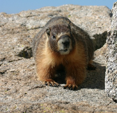
A rock chuck also known as a Yellow-bellied marmot
While back east they may have their ground hogs, we have our rock chucks that can easily be spotted around many parts of the region. They do have a special affinity for the Lassen Community College campus. First time students who see them on campus are intrigued. It has been mentioned to me a time or two, that the college should replace its mascot, a cougar, with a rock chuck.
In 1898, one local weather observer gave his opinion of that particular ground hogs day. “There were several gleams of sunshine in which the festive rodent might have disported if so disposed. As a weather indicator the ‘ground hog’ is not a howling success in this strip of the country. He is a fraud.”
In 1938, Mirl Simmons, of Susanville’s Eastmans Studios was one busy guy. He was busy filming and photographing the eight counties then that made up the Shasta-Cascade Wonderland Association. That association was preparing to display all the wonders the region possessed at the upcoming Golden Gate International Exposition to be held in San Francisco during 1939.
Early one morning in May 1938, Simmons made a journey to Secret Valley in hopes of capturing on film sage hens. What he found instead was a herd of co-operative antelope that he made a motion picture of instead.
Located on the north side of Skedaddle Mountain, it was so named for Lewis Brubeck (1852-1925), who in 1881 established a ranch on the east shore of Honey Lake, that would later become the railroad town of Amedee. In 1888, Brubeck purchased the property that the this spring is located on from Robert Elwood for $200. On February 8, 1899 Brubeck sold the property that consisted of 441 acres to Nevada sheepmen Flanigan & Dunn for $1,500. By the way, depending upon your age or your musical taste, Brubeck’s grandson was the acclaimed jazz musician, Dave Brubeck.
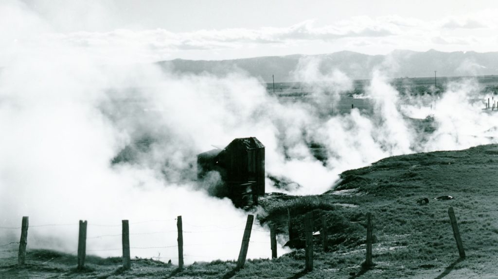
Eons ago, Richard Peterson of the University of Hawaii at Manoa contacted me in regards to published locally material on hot or mineral springs. Sadly, I informed him, that with exception of some stories of the Amedee Hot Springs during its heyday that such material was non-existent.
However, not to dissapoint him, I did some research to send along. As to Wendel Hot Springs, I informed that since 1856 some one has always tried to use these springs, initially for a steam bath. When James A. Wood had a homestead there in 1870s and 1880s he used the springs to heat his home. When the NCO Railroad arrived in 1899, they tried to use the water for the locomotive boilers, but quickly gave it up, as the minerals in the water clogged the boilers. I did mention that in the 1970s about Phil Gutman and the Hobo Wells Hyrdoponics company to grow tomatoes, but that is a story in itself.
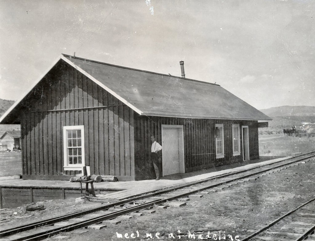
In the early 1900s the Madeline Plains was home to numerous desert homesteaders. It turned out for many to be a hardscrabble existence, not what they were promised by the developers.
Life on the plains can be challenging. A menace there were jackrabbits. In 1920, the residents wrote their Congressman John E. Raker for assistance and explained the situation. They reported: “As soon as the crops are up and making good progress the rabbits begin work on them. The heaviest damage is done during August. One rancher reported losing 100 acres of wheat last summer. They take this crop in preference to oats and rye. It was reported that 70 tons of rabbit meat [to make tamales] had been shipped last season to the San Francisco market. It appears that the animals cannot be killed fast enough in this region to furnish relief to the ranches.” That is not a typo, 70 tons—the rabbit population had to be epic.
Now to the tamale part. It is not clear who came up with idea of jackrabbit tamales. Don Garate in his history of the Madeline Plains wrote: “Oh they did not make any great deal of money by hunting jackrabbits, but it made a little cash for spending. What they did was to kill the creatures and ship them to the Crown Commission Company in San Francisco, where they were made tamales out of them. The Crown Commission Company paid as high as four dollars a dozen for them. After shipping and handling charges had been taken out by the railroad that left the hunter about two dollars a dozen.
“Two dollars a dozen does not sound like much, but money was real scarce in those days and it did not take long to knock over a dozen of jackrabbits. They would shoot the animals, gut them and put them in gunny sacks. The rabbits would freeze solid in the sacks. Then when they had enough, or after awhile when someone was going to town, they would haul them to the railroad depot.
“The sacks full of rabbits would pile up on the dock at the depot until there was enough to make a shipment on the train. After a couple of weeks, a check would come back in the mail from the Crown Commission Company for each person who sent in a shipment of jackrabbits.”
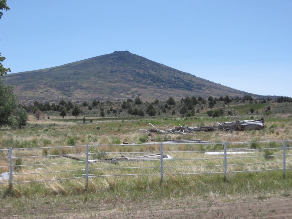
Located on the south side of the Madeline Plains, the Paiute Indians referred to it as Toka kudzi ni roughly translates into Black Peak.
Observation Peak, elevation 7964’, was so named for the views afforded from there. On September 29, 1850 J. Goldsborough Bruff and Isadore Meyerwitz climbed to the top. Atlas Fredonyer had visited there in the summer of 1850 and noted the peak by its name. On June 22, 1854, members of Lt. E.G. Beckwith’s party in search of a transcontinental railroad route climbed the peak. The mountain is sometimes referred to as No. 7. On the southwest flank there is a volcanic rock formation in the shape of the number seven that can be seen clearly as far away as Leavitt Lake.
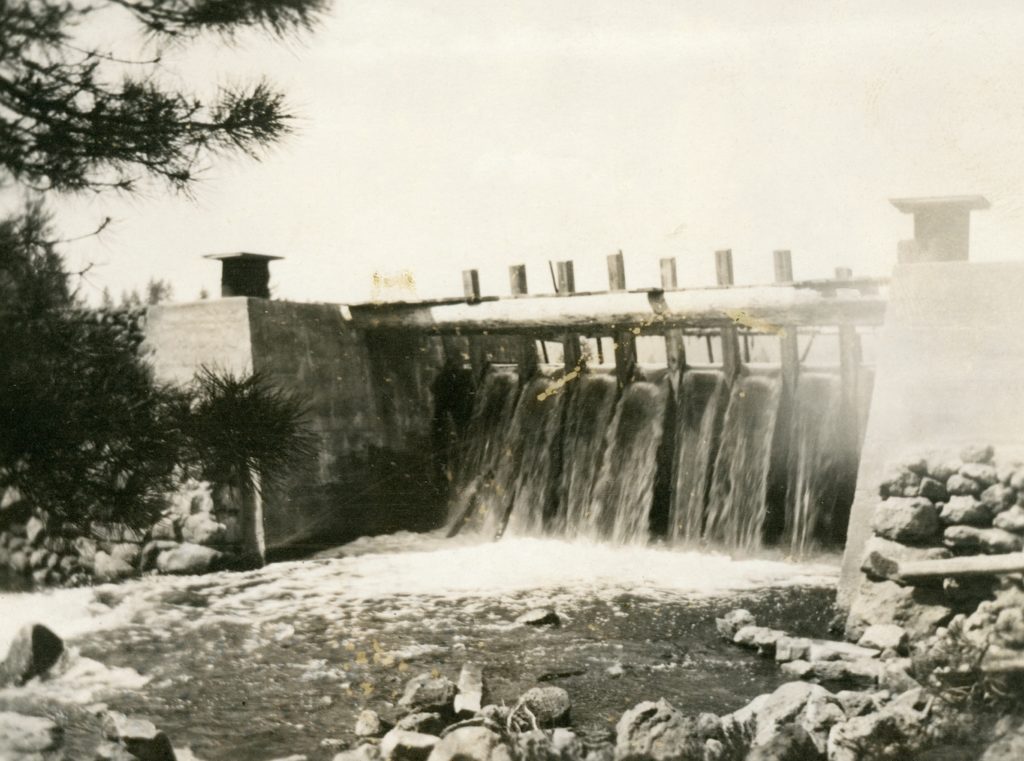
McCoy Flat Reservoir dam, 1915. Courtesy of Alphozene Terrill, granddaughter of Ben H. Leavitt
The winter of 1937-38 was one for the record books. There was a lot of wide spread flooding in the spring, including the breach of the Said Valley Reservoir. By mid-April 1938, Susanville attorney and a Director of the Lassen Irrigation District Hardin Barry released a statement that regarding the rumors circulating that McCoy Flat and Hogs Flat reservoirs were on the brink of collapse. As to Hogs Flat, Barry stated that it was so constructed that when full, surplus waters will flow through a natural depression in the direction of Worley Ranch. As to McCoy Flat it was pointed out that only nine feet of the thirteen feet of flash boards were installed and there was no imminent danger to the dam. Yet, to ease everyone’s fears the district hired a watchman at McCoy. It should be noted that Lassen Irrigation District owned the two reservoirs. Barry concluded that in 1932 that the State Water Resources Board had inspected the dams and deemed they were safe to use.
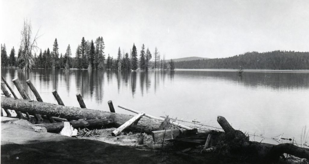
Hog Flat Reservoir, April 1940. Courtesy of Lola L. Tanner
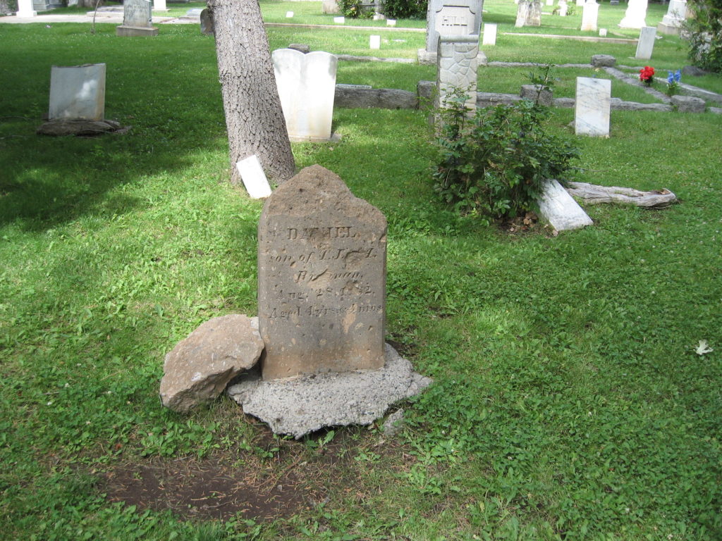
The headstone of Daniel Brannan made of rhyolite tuff has not weathered well. Susanville Cemetery, July 26, 2019
Located at the west end of Susanville is Quarry Street, so named for a stone quarry there that was discovered in 1860. The bluff at that part of town, better known as Inspiration Point, is fault block caused by volcanic upheaval. That upheaval created a deposit of rhyolite tuff. This was an ideal material in which was used in many of town’s native stone buildings.
However, during the mid-1860s the rhyolite tuff was used to make headstones. It appears that H.F. Thompson was the only stone mason to make the headstones. Some are quite elaborate such as Capt. William Weatherlow’s monument and others quite modest such as John Anderson. Thompson also made stones that are found in the Janesville and Long Valley cemeteries.