Tag Archives: Natural History

Diamond Mountain

A view of Diamond Mountain from Antelope Grade, January 1975

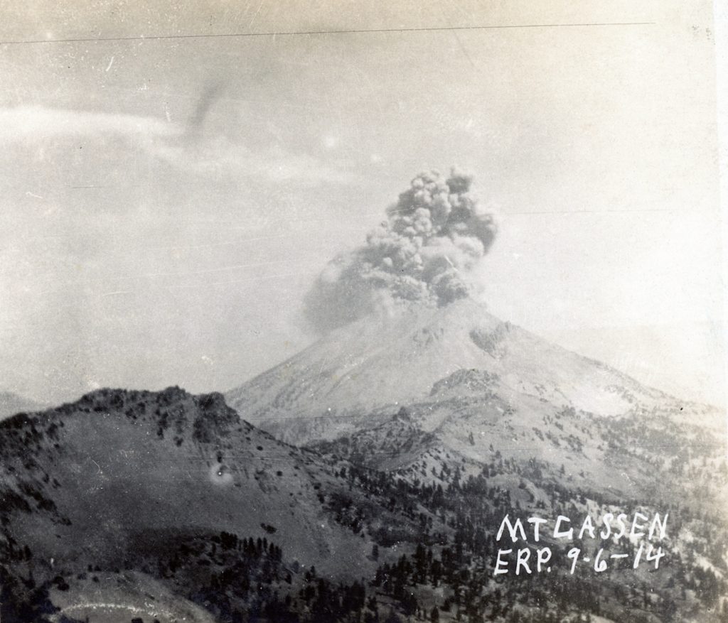
Exactly who and when mountain was named, is not clear. By the early 1860s it was referred to Diamond Mountain. There are pockets of crystal quartz that can be found along the range, hence “diamond.”

In February 1910, Lassen County historian and retired school teacher, Asa M. Fairfield wanted to name the highest point on Diamond, Mount Roop. It went over like the proverbial “lead balloon.” Fairfield’s quest to have a feature named for Isaac Roop did not end. Fairfield consider Roop the father of Lassen County, while Peter Lassen received all the name recognition.

In 1921, Fairfield petitioned the United States Board of Geographical Names to rename Worley Mountain, to the west of Susanville. In 1922, the Board agreed and changed the name from Worley to Roop Mountain.

Susanville  Peak, 1947. Courtesy of Fred Lendman

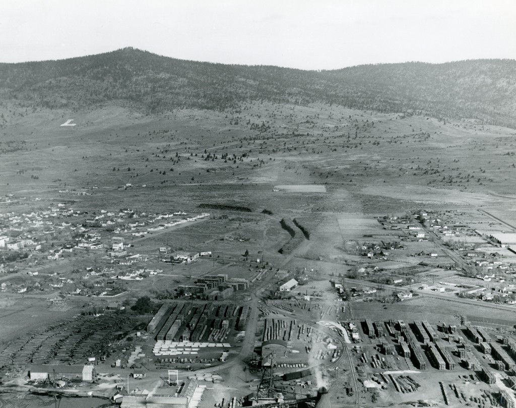
Personally, Susanville Peak would have been more fitting to the name designation. In Susanville’s historic core, one cannot see Roop/Worley Mountain. Yet, Susanville Peak is highly visible throughout the community. I still refer to Worley by its given name because when I was growing up that is what everyone referred to it as.

Support

Where are We—Echo Lake

July, 15, 2021

Echo Lake is in northern Plumas County, not far from the headwaters of Bailey Creek. It encompasses some thirty acres, and there is a small unimproved forest service campground there. Prior to the early 1970s it was only accessible by hiking. That changed when the forest service decided to extend road along Bailey Creek from Heckle Ranch to connect over to Silver Lake and the Caribou Wilderness.

Unfortunately, this area was ravaged by last year’s Dixie Fire.

Tim

Wild Horses and the Estray Act

Hayden Hill, 1920.

In 1922, the Modoc County Board of Supervisors did a bold act in an effort to control the wild horse population. At that time, they  passed a resolution to allow the Modoc National Forest to round up stray horses on public land using the provisions under California Legislation under the various provisions of the Estray Acts.

George Lyons the Supervisor for the Modoc National Forest contacted W.G. Durbin of the Lassen National Forest for assistance with Lassen County officials, since a portion of the Modoc Forest extends into Lassen County.

On January 31, 1924 Durbin wrote to the Lassen County Board of Supervisors to pass resolution similar to Modoc. Durbin wrote: “For a number of years the Forest Service and stockmen of Modoc County have been trying to free the Modoc Forest of this class of stock and have gotten rid of most of it, except in that portion of the Forest Service extending from Willow Creek and Hayden Hill south to the Pitt River and east of Bieber. To a very large extent this stock is made up are commonly called fuzz-tails and are wither unbranded or of so little value that the owners do not care to go the expense or even gathering them and in some instances they will not claim them after they have been gathered.

”These animals consume and destroy range that is badly needed by the ranchers in the Big Valley country for their cattle. There is only one way of getting rid of this class of stock and that is to dispose of them under the State Estray Act.”

Support

Cheney versus China Creek versus Williams Creek, Lassen County

The crossing of Cheney Creek along the Bizz Johnson.Trail—David Bricker

Cheney Creek, which old maps referred to as China Creek, is a small tributary of the Susan River, and flows into that stream just below Devils Corral. About midway along the length of Cheney Creek is a small meadow, though Asa Fairfield referred to it as Cheney Valley. Fairfield stated it was named for E.M. Cheney who in  October 1860, filed a claim of 58 acres on the south side of the Susan River, near present day Hobo Camp, some five miles away. Not much is known about Cheney’s short tenure in the region, though he did serve on Lassen County’s first Grand Jury.

By the mid-1860s, Susanville had its own Chinatown. The population had its ebb and flow. On June 10, 1871, Quong Wong and 39 other Chinese filed mining claims along this creek which they named it the Yankee Company. Their activity was not ignored.

The Lassen Advocate reported on September 9, 1871: “There are some forty Chinese mining the vicinity of Stockton’s mill on the Susan River, about nine miles from here. They are making, they say from $1.50 to $2.50 per day to the hand. There are unquestionably good mines in that locality, provided water could be secured to them without too much trouble. Parties are anticipating the construction of a ditch to these mines next spring.”

Cheney Creek shortly before it enters into the Susan River—David Bricker

According to mining claim it is a dry gulch. As the newspaper reported it was near Stockton’s, known today as Bunnells. Where Cheney Creek flows into the Susan River, is a rocky bluff, while where Williams Creek flows into the Susan River at Devils Corral, would be conducive for a ditch.

Whatever the case may be, as late as 1958 Metzker’s Atlas of Lassen County designates Cheney (China) Creek.

Subscribe

The Many Craters of Lassen Peak

Lassen Peak, November 10, 1914

When Lassen Peak had it initial eruptions in the spring of 1914, it created an initial crater 25 feet wide and 44 feet long. For the remainder of the year, there would be over hundred eruptions, constantly reconfiguring the crater. That would change dramatically on May 22, 1915 when the peak had its cataclysmic eruption.

A view of the new crater, November 10, 1914

Tim

Eagle Lake’s Coho Salmon

Bly tunnel inlet, July 1924. Courtesy of Wyn Wachhorst

In 1934, the California Department of Fish & Game introduced two varieties of fish into Eagle Lake. The first was a spiny ray fish, though exactly which specie it did not identify. They thought they would be successful because of their breeding habits. However, due to the lake’s high alkaline content the fish were almost immediately killed when planted in the lake.

The other experiment was with coho salmon. It was a substantial planting of 250,000 of coho. A problem occurred sometime between the initial planting and the spring of 1935. Unknown parties had removed the fish screen at Bly Tunnel. Instinctively, a large population of the salmon migrated through the tunnel, just as they would like a regular stream to reach the ocean. Fish and Game officials were furious to say they least. They stated there would be no more fish plantings until the problem was fixed.

While the fish screen was reinstalled, Fish and Game were hesitant of future plantings due to the high alkalinety  of the water.

Donate

Susan River’s Pigeon Cliffs

Pigeon Cliffs, 1899
Susan River Canyon, looking towards Pigeon Cliffs, 1899

Can anyone enlighten me how Pigeon Cliffs, located in the Susan River Canyon, just west of Susanville received its name? When I was a youngster, I spent an incredible amount time exploring the Susan River Canyon.  However, I never seen any pigeons at the cliffs. I have never come across any historical notations about the cliffs period. Another case in point, Inspiration Point never entered the local vernacular until the 1920s. Prior to that, it was the bluff behind Susanville.

Pigeon Cliffs
Pigeon Cliffs, 1972

Tim

An Interesting Fish & Game Presentation

EL bass spear
Spearing for bass was a popular method.

At the March 1926 meeting to the Lassen County Fish & Game Conservation league there were two interesting topics. It should be noted the League was an organization comprised of sportsmen to aid and support the county’s fish and game commission.

The first matter they approved the law to spear bass at Eagle Lake. Even though there was a ban of spear fishing of bass at Eagle Lake, it was ignored and not enforced.

The second issue concerned the Eagle Lake trout and the effects of drought and the Bly Tunnel lowering the lake. The local fish & game commission proposed an egg collection station at Pine Creek and establish a hatchery at nearby Willow Creek. This received enthusiastic support from the league.

The proposal was to intercept the trout during their annual spring run up Pine Creek with nets and fish traps to remove the eggs and then return the trout back to the lake. The commission stated there was a great amount of trout that perished each year with the drying up Pine Creek. With that in mind, the eggs would then be taken to the proposed Willow Creek hatchery and when the fish were sufficiently developed, be planted back into the lake.

These folks were ahead of their time. In 1958, the Wildlife Conservation Board allocated $38,810 for a fish trap/egg collection facility for Pine Creek.

Pine Creek, 1921. Courtesy of Lola L. Tanner

It should be noted the league had a membership fee of one dollar a year. The money raised to provide financial assistance to the fish and game commission.

Donate

A Strange Land Office Question

Lassen Peak Eruption, September 6, 1914

In the spring of 1914, when Lassen Peak came roaring back to life as an active volcano, it brought about a whole new set of issues, that had never been addressed.

In the fall of 1914,  Francis M. Garner had a homestead on federal land some twenty miles west of Lassen Peak. Since the eruptions were constant, with no end in sight, Garner began to worry about his home. He feared it could be destroyed by volcanic ash and even worse lava. He wrote to the Government Land Office about his predicament. What Garner wanted to know, if he was forced to abandon his homestead, he wanted to know if an exchange could be made for other government land. If Garner received a reply from the Government Land Office, the contents are not known. On the other hand, while Garner’s homestead was never threatened, he did abandon his homestead.

Donate

Honey Lake, 1868

Honey Lake, 1984
Honey Lake, February 1984. To the right is the Hartson Sand Ridge. Photograph courtesy of Bob Sorvaag

Yesterday, we explored what was originally thought of as a strange phenomenon when Honey Lake went dry in 1859. A decade later the residents were puzzled by the high water of Honey Lake. In 1868 Honey Lake had reached its highest level ever witnessed. There, of course, a lot of speculation causing the lake to be so high, just as there was when it went dry. Many believed that the lake now contained springs, thus, why the lake was ten feet higher than known, flooding a lot of adjacent farmlands. There was even speculation that if the lake level continued to rise, that a channel be constructed to drain the lake into nearby Pyramid Lake. In the course of time, the lake level subsided and in 1887 it went dry.

Donate