Category Archives: History

Those Pesky Deed Covenants

Willow Creek School, 1921

One of the most common deed restrictions years ago included a clause prohibiting race and alcohol. In 1914, when John Spalding subdivided his property on the west shore of Eagle Lake. The deed stated no person of African or Mongolian descent would be allowed to occupy, own rent or lease the premises and that no type of alcoholic beverages would be allowed on the premises with an exception for medicinal purposes. Should the owner not abide by these regulations, the property would revert back to Spalding. It was not much of an issue, since Spalding sold only one lot.

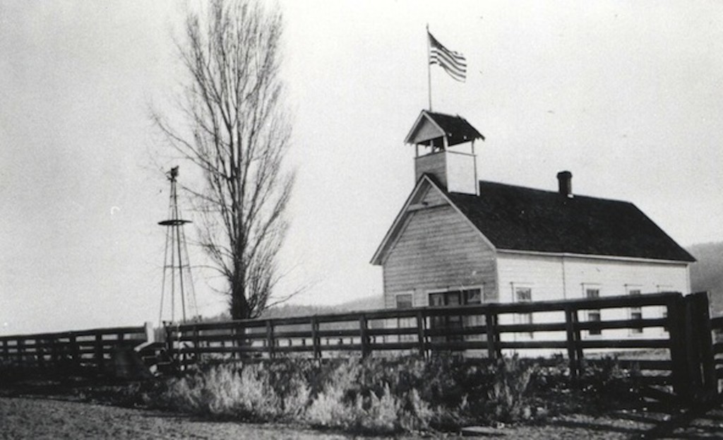
Another type was a reversion clause. On August 11, 1877, John Dobler donated the land that the Willow Creek School, was built on  with the provision that when no longer used for a school, the property would revert back to him or his heirs. In 1950, when the Willow Creek School District was dissolved, the provision was ignored. The same thing happened with the Lake School, since the property was donated by Epley family with the revision clause that was ignored. This case was a bit unusual since the Janesville School District annexed the Lake School deemed it surplus property. However, the school trustees deeded the school property to the Bailey family, because they assumed the family donated it in the first place.

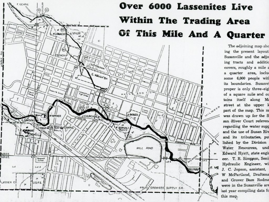
In 1864, when Isaac Roop sold a Susanville city block to Lassen County for a courthouse, it included a reversion clause. This caused quite a stir back in the late 1970s when the county purchased property on North Mesa Street for a possible new courthouse complex. That is an interesting tale in itself, but as many know it never transpired.

Support by subscribing.

Susanville’s Special Census

A 1937 promotional feature of the Lassen Mail newspaper.

When Susanville incorporated as a city in 1900, its eastern boundary was Weatherlow Street. In 1920, annexation of Halltown and the East Addition was discussed, but no action was taken. With continued growth east of the city limits annexation efforts failed. In 1947 that finally changed when voters approved an annexation. The City’s Main Street now extended from Weatherlow to Fairfield, and additional eleven blocks.

Everyone had guessed what the Greater Susanville population was, but no one knew exactly. After the approval of the annexation, the City requested the U.S. Census to conduct an official count. This was important, for the City needed that information to provide it to federal and state authorities for allocation of tax funds based on population. A census was conducted on April 30, 1948, and it showed there were 5,358 inhabitants.

In 2023, the population was 11,593.

Support by subscribing.

An Amedee Inquiry

Amedee, 1982.

Some one wanted to know if the former town of Amedee was part of the Sierra Army Depot. The confusion may stem as the Depot has an air strip known as Amedee. However, the Depot’s properties are  south of the Amedee townsite.

On February 24, 2014, the Humphrey family that owned Amedee Hot Springs, the abandoned townsite and surrounding ranching property for nearly a century sold it to Hays Ranches for $450,000. It should be noted, that the Humphreys were involved in the McKissick Cattle Company that purchased the Amedee holdings in 1915. By the late, 1920s the town had been abandoned, save for a caretaker. However, visitors would stop by to take advantage of the old bathhouse for a soak from the hot springs.

Tim

Organized Labor Comes to Susanville

Susanville, 1920

The spring of 1923 brought a new surprise when the store clerks of Susanville organized, but not as a labor union. On May 3, 1923 the Clerks Co-operative Association was organized with an initial membership of twenty-two. Harry Coleman as selected as Chairman and Fannie Winchester as Secretary.

The first item on the agenda, was a committee of five were appointed to meet with the merchants to have uniform closing hours. It was their desire to close at 6:30 p.m.. during the summer and 6:00 p.m. in the winter. Another item, was to aid each other to improve salesmanship skills. Finally, it was their desire to work in harmony with the merchants.

Tim

Election Day, 1864

Main Street, Susanville, 1864.

Lassen County was created on April 1, 1864 from the eastern portions of Plumas and Shasta Counties. On April 11, 1864, California Governor F.F. Low appointed three men—L.N. Breed, Frank Drake and H.C. Stockton—to serve as county commissioners to organize the county.*

The main task for these men was to put on a election for a slate of county officers and equally important to select a county seat. The date set for the election was May 2, 1864. Janesville and Susanville were the two sites selected for the county seat. On May 12, 1864 the final canvass of the election was held. It was a messy affair, and two precincts Fort Crook (Fall River Mills) and Surprise Valley were ultimately rejected. The minutes were vague: “The board proceeded to estimate the vote . . .Susanville having received the highest number of votes for the county seat, was declared the county seat of Lassen County.” The Quincy Union newspaper reported that Susanville won by 72 votes.

*In 1879 California adopted a new Constitution whereas the county commissioner became county supervisor and the District Court Judge became the Superior Court Judge.

Support by subscribing.

Biscar Reservoir

Upper Biscar Reservoir

Pierre “Pete” Biscar (1881-1947), a native of France, came to Secret Valley in 1904. In 1909, he constructed the first reservoir at the mouth of Snowstorm Canyon. In 1915, it was washed out by a flood and subsequently rebuilt.   Today, there are two small reservoirs that are part of the 550-acre Biscar Wildlife Area.

Tim

1923 A Pivotal Year

MaIn Street, Susanville, 1922

In 1923 for the first time in the nation’s history the shift of the majority of the population had moved to urban centers. A portion of this can be attributed to the effects of World War I. Many young men who served in the war did not want to return to the farm. This was especially true for those who prior to the war had a hardscrabble life in eastern Lassen County with desert homesteads.

Locally, with the establishment of the lumber mills in Susanville and Westwood brought more opportunities. In the early1930s, with the completion of the Western Pacific Railroad’s Highline, Big Valley saw a major increase of population, whereas other rural areas of Lassen slowly declined.

Tim

A Barbwire Story

Heath Ranch, Grasshopper Valley—California Outdoor Properties

In the 1860s, stockmen on the Great Plains first introduced barbwire to keep their livestock in one region and to fence springs, preventing unwanted livestock access to the water. It was also an economical measure, wood was not a common commodity on the plains.

The introduction of barbwire in Lassen County was a slow process, and no doubt a 1880s lawsuit hampered its local use. In 1883, Charles F. Gardner and A.J. Rhoads claimed substantial acreage through the Swamp and Overflowed Land Act in northern Grasshopper Valley.  The men proposed a large-scale livestock operation.  In the spring of 1886, they hired William Tanner to construct a barbwire fence to enclose their lands to protect their
pasture from roaming livestock. Tanner constructed a three-strand
fence—the top strand 52 inches high, with posts thirty-six feet apart.
Charles F. Loveland, the adjoining property owner claimed the fence
was a hazard and poorly maintained.  He claimed that five of his
horses had been killed by the fence and an additional twenty horses
had been crippled by it. On July 4, 1886, Loveland filed a lawsuit
against Gardner, Rhoads and Tanner for the loss and injuries sustained by his horses from that fence.  On April 11, 1887, the jury awarded Loveland $575 plus costs.  Gardner appealed verdict.  On May 27, 1889, the appellate court remanded the case back to the local court with two options.  Loveland could accept damages in the amount of $300 or the parties could have a new trial.  Loveland accepted the $300 award.

Support by subscribing.

A 2023 Mining Bonanza?

Desert prospectors.

During extremely wet winters, come spring time, California and Nevada usually experience a mining bonanza, and locally it has occurred in this region. While, this was a wet winter in Lassen and Modoc, it was far from record breaking.

1907, on the other hand was a different story. It was a whiplash winter throughout California and Nevada with heavy rains, followed by heavy snows, and the scenario repeated itself. It caused a mini-gold rush with massive erosions in gullies and streams, exposing gold and other minerals. On Bass Hill between Susanville and Janesville one ravine along the road revealed gold nuggets. Thus, there was a prospector frenzy there, as well as the entire Bald Mountain. Spoonville native M.E. “Mul” Mulroney, noted that on that side of Bald Mountain a tunnel was made in hopes of gold ore, but found none.

It did not stop there. Discoveries were made just north of Susanville, on Antelope Grade. An unlikely spot was Skedaddle Mountain, where there was so much interest that caused for the creation of the Hot Springs Mountain Mining District, the last one of its kind in Lassen County. While nothing materialized there, one desert mountain seemed more promising—Fort Sage. Prospecting on Fort Sage continued for decades and I can personally attest. When my father passed away in 2002, while sorting through his paperwork, unbeknownst to me were several mining claims he had on Fort Sage.

Tim

Nataqua Territory

Roop’s Trading Post better known today as Roop’s Fort

On April 26, 1856, twenty settlers in the Honey Lake Valley gathered at Isaac Roop’s Trading Post nee cabin and held a “mass convention” to establish a territory of their own.  After all, the group concurred, they were not residents of California and they did not want to be under Mormon domination of the Utah Territory whose boundaries extended to the eastern boundary of California.  They named their new government Nataqua Territory. Nataqua, or Natauga as it is sometimes spelt, purportedly, was a Paiute word for woman.  Their land grab was grand to say they least. They carved out a territory, 240 miles long and 155 miles wide, almost two-thirds the size of the State of Nevada.  Ironically, the legal description of their new sovereign state, excluded themselves. Roop’s Post for instance, was located 35 miles west, outside the their western boundary.  The Nataqua Territory, in essence, served as a form of local government to provide an avenue to protect their rights and to handle local land affairs.  The territory served as a foundation until a more formal government was established. In 1857, the  Territory was abandoned when an attempt was made to form the Territory of Sierra Nevada.

Support by subscribing.