Tag Archives: Natural History

Pigeon Cliffs & Highway 36

Pigeon Cliffs
Pigeon Cliffs, 1972

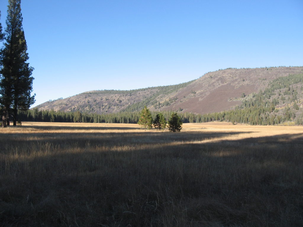
These cliffs are located just west of Susanville and Highway 36 passes right over it, so the casual road traveller would not even be aware of it. There was a time one could pull off the highway and look over, but the highway department put up a barrier to discourage visitors. For those walking the Bizz Johnson Trail and look up at the cliffs, one will notice a tremendous amount of rock debris below the cliffs nearly all the way to river. That was not Mother Nature’s doing. In the summer of 1916 a state prison camp was established on the site occupied today by the California Division of Forestry. A tremendous amount of rock blasting had to be done between there and the city limits, which would be the new entrance into Susanville. All that blasted rock debris was pushed over the cliffs.

Pigeon Cliffs, 1899
Susan River Canyon, looking towards Pigeon Cliffs, 1899

Spread the word, and encourage a friend to subscribe

Did You Know?

Cinder Cone, 1967—National Park Service

While Lassen Volcanic National Park is known for its many hydrothermal features, and of course, Lassen Peak as a volcano. Many visitors and area residents are not aware that inside the park, there is not only the Lassen Peak volcano, but more. What is unique is there are four different types of volcanoes in the park. To me that is amazing to have such in a small area.

We begin with Prospect Peak, shield volcano, a broad dome with sloping sides. Next is Brokeoff Mountain, which is unique in the fact it is a remnant of ancient Mount Tehama. This is what is known as a composite volcano—conical shape buildup of many layers of lava and ash. Cinder Cone derives its name as a cinder cone volcano that was formed when a single vent violently shoots gas charged lava into the air and falls back as cinder rock. Last but not least, is Lassen Peak. It is one of the largest plug dome volcanoes in the world. Its formed by slow moving lava and bulbous formation.

There is your geology lesson for the day, enjoy your surroundings!

Spread the word, and encourage a friend to subscribe.

Shaffer Mountain Update

Shaffer Mountain, January 26, 2020

First of all, some readers might have missed this post from last month, due to technical issues. You can read that post here. In summation, the mountain was named for the Shaffer Brothers—Peter J.and Uriah. When they departed the Honey Lake Valley in 1868 there whereabouts were unknown. It should be duly noted, in many instances, then and even today, former residents passing are chronicled in the local press. That was not the case with the Shaffers. Thanks to David Zoller he did some sleuthing and found that the two men by 1880 became fruit growers in Los Angeles County where they both died in the early 1900s.

Support

Shaffer Mountain, Lassen County

Shaffer Mountain, January 26, 2020

A year ago, I wrote about Shaffer Mountain, but I really did not do it justice. For those who may not be quite familiar with it the mountain separates Honey Lake and Secret Valleys, and on its southern base is the community of Litchfield.

The mountain was so named after the Shaffer Brothers—Uriah and James. Their first business venture in the region was a warehouse at the then booming mining town of Richmond. On September 8, 1862, the Shaffer Brothers purchased the 1280-ranch of George Lathrop for $4,250. (This property known today as Mapes Ranch a few miles east of Litchfield). The place was located along the Nobles Emigrant Trail and Lathrop had a station there to cater to the travelers. In time, it became known as Shaffers Station. Trade there for a time was brisk, but that quickly changed with the transcontinental railroad to the south, and travel on the Nobles Road was greatly diminished. Making matters worse, the area was in a depressed economy. The property was auctioned off in two different transactions Thomas French and Andrew Litch became the new owners. The Shaffer Brothers moved on and it is not known whatever became of them.

The mountain at an elevation of 6375’ does provide a stunning view of the region. The California Division of Forestry took note of this fact and established a fire lookout there in 1931. The lookout remained in operation until 1949, when it was replaced with Landon Lookout near Eagle Lake.

Spread the word, and encourage a friend to subscribe.

Where Are We—Long Lake

Long Lake, June 4, 2020

Long Lake is just to the west of Highway 44, northwest of McCoy Flat Reservoir. The lake is a natural sink, it has no inlet or outlet. Early maps and surveys referred to it as Anna Lake. In time it became known as Long, probably for George Best Long (1868-1925), well known Susanville stagecoach operator, who owned property adjacent to the lake.

Support

Where Are We?

June 4, 2020

It is nice to be able to get out and about again, not just from the shelter-in-place guidelines, but also with the broken leg recovery. I am a still bit wobbly on uneven ground, but progress is made, slow but sure.

This lake has been severely impacted by this dry winter. Last year, the lake was full and even prompted California Department of Fish & Game to stock it with fish. However, with the current conditions, the lake will be long gone shortly.

Support

I Did Not Know . . .

Papoose Meadows, October 13, 2017

Some of things I learn along the way doing these posts amazes me. In 1929, C.R. Robinson of the Lassen National Forest released his report on a rodent survey. Robinson stated most of the damage is being done by the Oregon ground squirrel. Robinson found that the damage to the forage crop in the mountain meadows often amounted to fifty percent. It was that figure that grabbed my attention. I thought given the era, there might have been some bias, but not so.

In a 1993 report by the Oregon State University Extension Service reported “that the ground squirrels are a major wildlife pest in central and eastern Oregon. They consume a substantial amount of forage and field crops.” In one instance they cited, “in northern California another study reported that, during the growing season, 123 Belding’s ground squirrels per acre consumed 1,790 pounds of alfalfa per acre.”

Subscribe

Sunrise Solstice Tour

Sunrise Chamber, 2015

Were you aware that the Belfast petroglyph site also serves as ancient observatory?  This event only occurs on the morning of the summer solstice when the sun enters a chamber highlighting a variety of glyphs, among other things. It is quite the sight to see.

sunrise chamber
The sunrise chamber.

This is an early morning excursion and I mean early as we gather at 5 a.m. to make the trek. In preparation attendees receive in advance John Rudolph’s paper, “An Ancient Solar Observatory.” If there is enough interest we can make the trip this year. Last year only one person indicated an interest, but did not commit, so I cancelled. So it is important that you express an interest to me in advance.

The solstice occurs on Sunday, June 21. On Saturday, June 20, I will send an email with all the details, or on the other hand whether its cancelled. After all, if it is overcast there is no sense in going.

Note: There is a $5.00 fee for non-subscribers.

Never miss a story, click here to subscribe and support.

Horseshoe Lake, Lassen Park

Grassy Lake, 1911–B.R. Zimmerman Collection

Horseshoe Lake is located in the southeast portion of Lassen Volcanic National Park. It is approximately a mile and a half northwest of Juniper Lake. It was originally known as Grassy Lake, but no doubt after the creation of the park, someone wanted to give it a more colorful name. In the1890s Adolph and Anna Olson had a squatter’s claim and for nearly twenty years used the area for summer livestock grazing. Jakey Lake located northeast of Juniper Lake was named for their son, Jakey Olson who died at the age of seventeen.

Subscribe