Tag Archives: Eagle Lake

Eagle Lake’s Highest Level

Gallatin Beach and Peak, 1916. Courtesy of Wyn Wachhorst

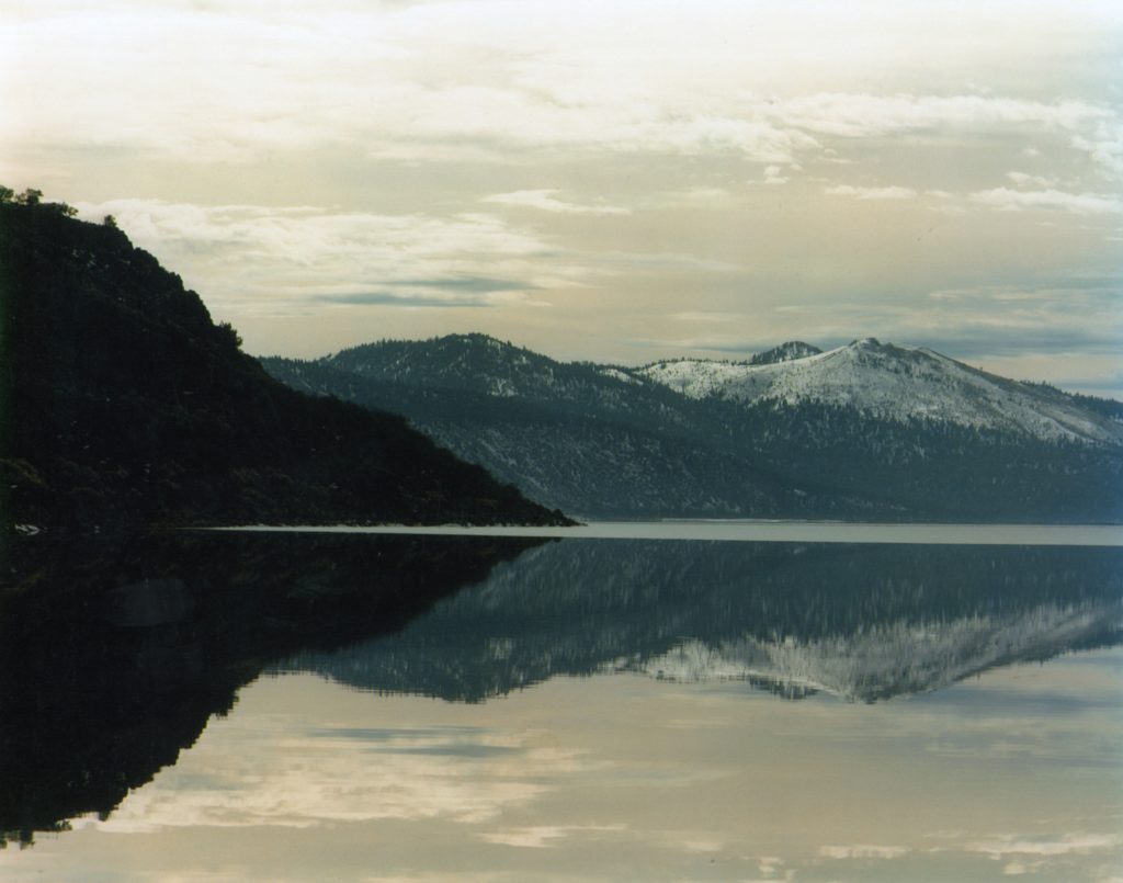
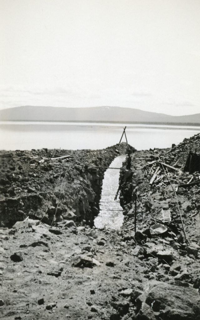
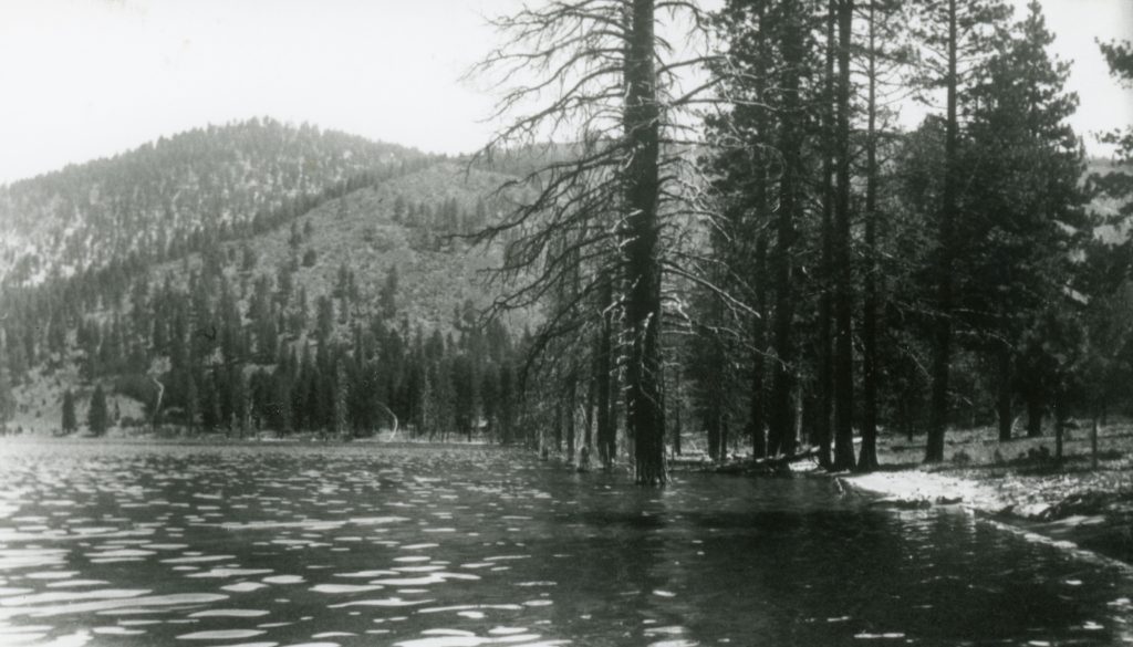
In the spring of 1917, Eagle Lake reached its highest level ever known at 5,125 feet. For the previous ten years the region had experienced one of its wettest known periods. Since the Anglo settlement of the 1850s the region had been void of any prolonged drought. There would be one and maybe two years of below normal precipitation years. Between 1875, when the Government Land Office provided the first accurate level of the lake, to 1917, the lake’s water level had risen fourteen feet.  At that time, the lake covered a surface area of 29,000 acre-feet. Between the Bly Tunnel and successive droughts in 1937, its surface area had been reduced to 16,000 acre-feet.

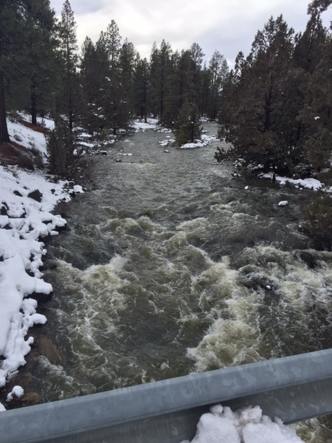
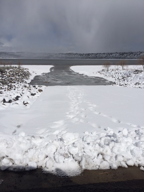
So after this wet winter we have experienced, the level of lake as of April 3, 2017 stood at 5095.78, and the level of the lake has risen nearly five feet since November 1, which  information was provided by Lassen County Surveyor Don Willis, who monitors the lake’s level every month.

Subscribe!

Eagle Lake Water Rights Revoked

Eagle Lake, 1984

Water rights can be a contentious issue and those rights involving Eagle Lake has a long sordid history. In 1939, the State of California revoked the water rights of the failed Baxter Creek and Tule Irrigation Districts.  A legal battle ensued and the districts won. In the meantime,  between all the barbs and volleys being lobbed during the litigation process, the level of lake started rising  wherein the water began to flow  through the Bly Tunnel.  In 1955, work was being carried to clear out debris and resurrect the irrigation system. Not everyone was pleased and an unknown vigilante party went to the Bly Tunnel inlet and dynamited it to prevent water flowing.  The opposition stated that the lake was more valuable for recreation than for irrigation.

In 1959, the State once again revoked the Tule Irrigation District’s rights to the lake. The Baxter Creek District went bankrupt in 1952 and was no longer in the picture. The issue did not go away, as the District and a handful of ranchers filed for water rights and opposition was immediate. After heated three-day public hearing in Susanville the Water Board took the matter under consideration and on March 15, 1962 registered its opinion to deny future water rights to the lake.

Subscribe!

Eagle Lake’s North Shore

Having a bit fun at Eagle Lake's north shore, 1923.
Having a bit fun at Eagle Lake’s north shore, 1923.

While the calendar and the weather indicates it is March, many us can start thinking of a variety activities for the coming summer. For recreational aspects at Eagle Lake, the emphasis is usually centered around the south shore.  Those who resided closer to the lake’s northern shore did not prevent them frolicking in the water. Continue reading Eagle Lake’s North Shore

An Eagle Lake Update

Pine Creek at the Spalding bridge, February 21, 2017

I am aware that there are a lot of folks anxious to learn about the level of Eagle Lake. When I have more information on the lake level, I will relay that information. In the meantime, though I wanted to share these two photographs taken recently by a friend of mine.

Spalding boat launch, February 22, 2017

Subscribe!


The Eagle Lake Cut

The first of many of deepening the intake to the Bly Tunnel.
The first of many of deepening the intake channel  to the Bly Tunnel.

One of the problems associated with Leon Bly’s tunnel at Eagle Lake concerned the construction. The original plans stated that the tunnel would tap the lake eight to nine feet below the surface. It was not until 1924, that it was revealed that the contractor, Grant Smith & Company had only had a cut three feet below the surface, and in that same year, one of the driest on record, that the water flow through the tunnel was inadequate.

In the fall of 1924, Edward Whaley was hired by the irrigation districts to make a cut five feet below the surface to correct the problem. Whaley, like Grant Smith, would not fulfill his contract either. The problem was blasting through solid rock. Each year the districts took it upon themselves to extend the channel further out into the lake. In 1932 the last work was done, but between the drought and water taken out, the lake had dropped by twenty-four feet.

Support by subscribing.

Papoose Meadows: The End of an Era

Cabin and water tank at Papoose, 2011.
Cabin and water tank at Papoose, 2011. Courtesy of Scott Grometer

In the mid-1880s when Albert Gallatin started purchasing property at Eagle Lake, his main intent was to use the region for summer grazing of sheep. He also owned a substantial ranch in Tehama County.  After his death in 1905, his widow, Malvena, scaled back the ranching operations, and most of it was leased to other operators. In 1946, Malvena sold all her Eagle Lake properties to the Lassen Lumber & Box Company.

In 1947, Papoose Meadows through a land exchange between the Lassen Lumber & Box Company and the Lassen National Forest became part of the public domain. Initially, Earl McKenzie had leased Papoose from Gallatin, which the forest service honored. In 1952, Lyman Willard succeeded McKenzie with the now forest service lease. The permit allowed for 470 head of cattle, though Willard did not own that many, so he shared the permit with Elwin and George Roney.  In 1966, Willard’s son-in-law and daughter, Bill and Jean Barton came to assist with the Willard operation. In addition, Wally and Billie Roney, like the Bartons, came into the fold of the operations.

It could also be called an omen when the barn at Papoose partially collapsed in 1995.  Within the next ten years relations with the forest service had become so strained that the Bartons and Roneys gave up the lease. In September 2013, the forest service demolished the cabin and water tower.

For a brief period there were riding stables at Papoose, that to be addressed in a future post.

Subscribe!

Leon Bly’s Early Years

Leon Bly
Leon Bly sounding Eagle Lake. Courtesy of Wyn Wachhorst

Leon Bly was born on March 6, 1877 at Chicago, Illinois.  By 1908, he had located to Red Bluff, and became involved with many projects.  In 1909,  he was the engineer and founder of the Butte and Tehama Power Company. The following year he examined the potential development of Mill Creek for hydro-electric power which he sold the project to the Sierra Irrigation Company. Continue reading Leon Bly’s Early Years

The early history of Papoose Meadows

Papoose Meadows, circa 1910. Courtesy of Wyn Wachhorst

The first Anglo settler at Papoose Meadows, near Eagle Lake was that of 24 year-old Kentuckian, Cyrus Myers who claimed the property in 1873.  He was one of the earliest settlers of the Eagle Lake basin.  After all, it was not until 1875 that the Dow and  Spalding families located near Pine Creek. In September 1876 Myers traded this property along with the improvements he had made (that consisted of a frame barn, a log barn, one log cabin, two outhouses, 800 fence rails and ten tons of hay) to Susanville resident and Lassen County Clerk, Wright P. Hall for sixty-five cows. Continue reading The early history of Papoose Meadows

Eagle Lake – Bly Tunnel Question

Blasting at the inlet of the Bly Tunnel, 1921. Courtesy of Lola L. Tanner

To the naked eye, today’s photographs does not look like much. For me I find it puzzling and I hoping someone can explain and/or give me some type of geology lesson.

The photographs were taken in 1921/22 at the inlet of the Bly Tunnel. The smoke depicted, in the above photograph, is from the blasting. What intrigues me is the tailing pile, which is composed of sand!  The tunnel was constructed through lava rock. So  where did the sand come from? By all means, please share this post to anyone who can enlighten me, and everyone else who would like further insight.

More sand. Courtesy of the D.M. Durst Collection

Subscribe.