Tag Archives: Natural History

Skedaddle Mountain

Honey Lake, 1997
Honey Lake, 1997 with Skedaddle Mountain in the background

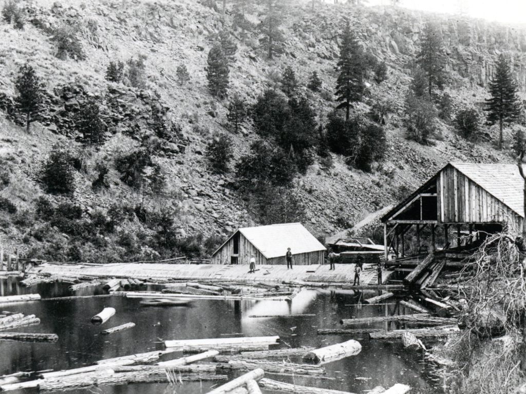
Skedaddle Mountain is known to many people for different attributes. Rockhounds enjoy exploring it, just as much as a chukar hunter. Whatever the case may be, many are not aware how it got its name.

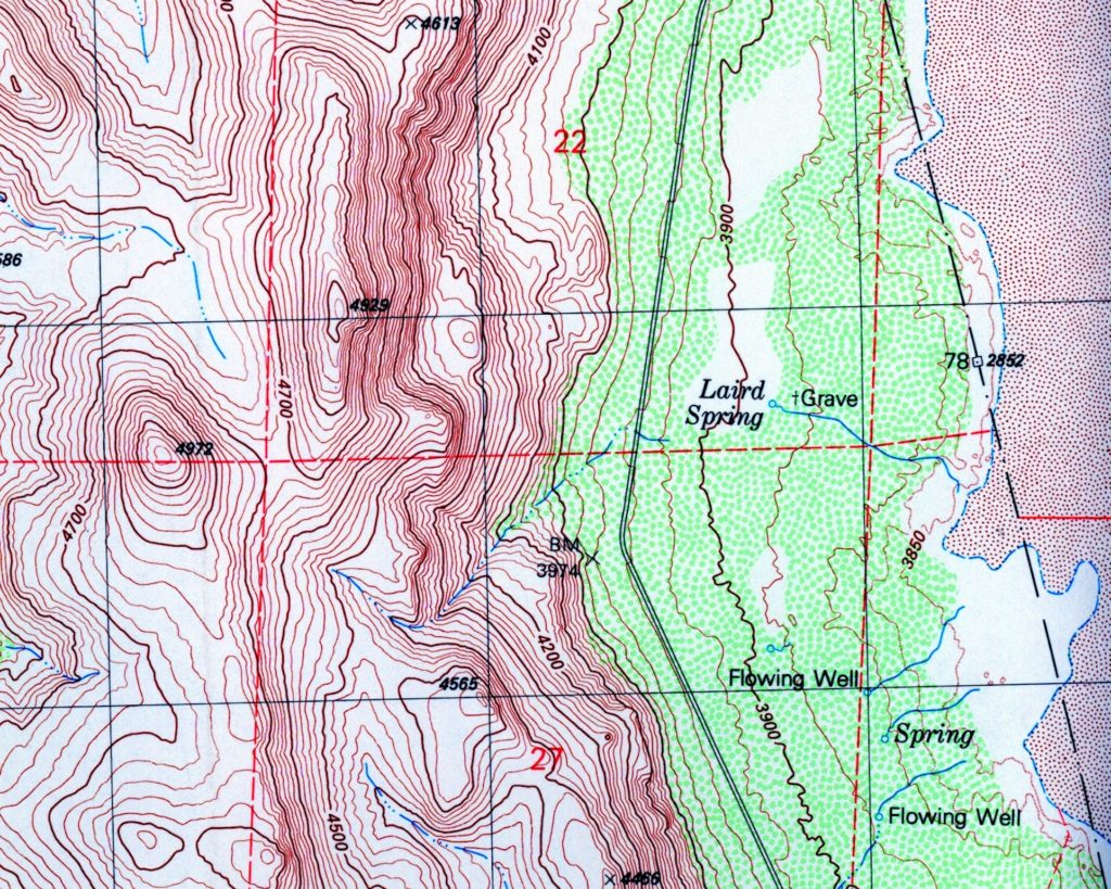
Skedaddle was a Civil War term used primarily by Southerners meaning “to flee”. The mountains were named by the Kidder & Ives state line boundary survey crew in 1863. Their formal report stated: “The line crosses Honey Lake Valley east of the lake, about eight miles and thirty-eight chains west of High Rock Spring, from thence over a barren volcanic country to Rush Creek, crossing said creek one quarter of a mile east of Rush Creek Station. Between High Rock Spring and Rush Creek, a small valley, hitherto undiscovered, and named by us Skedaddle Valley, from the following circumstance, viz: On first discovering it we found a number of Pi Utes, of the Smoke Creek Band, who seized their weapons and rushed to the rocks, apparently to give us a warm reception. We immediately signaled them, held a parley, and induced some four of them to visit our camp. I then thought it best, in company with one man, to visit the Indian encampment, leaving orders to retain the Indians in our camp until my return. Soon after arriving at one of their bough houses, where we found several more Indians, we were recalled by one of our men, who stated that those retained in camp had escaped, not heeding the weapons which were aimed at them, but not fired. I then deemed it best to move camp that night, which was done, arriving at Mud Springs [Bull Flat] about twelve o’clock. Luckily, the line had been run the soldiers who went there to hunt the Indians, that there must have been at least fifty camped at that point, and they must have departed almost simultaneously with ourselves. I have consequently named the place Skedaddle Valley, thinking, however, that the victory was on our side, as we captured one gun from the enemy.

Subscribe!


The Susan River Fish Ladder

Bremner sawmill, Susan River Canyon, 1891. Courtesy of Betty Barry Deal

When the Bremner sawmill and dam was constructed on the Susan River, a short distance above today’s well known Hobo Camp, not much thought then was given how it would affect the river’s fishery.  It took a little while before the local anglers noticed the trout population below the dam was greatly diminished.

On June 15, 1892, Bud Heap and Ben Hunsinger went on a fishing expedition, traveling by wagon going up the grade west of Susanville for several miles. The ambitious men, then hiked down from the canyon rim and found the fishing par excellent, returning with some twenty pounds of trout. It was from that episode, that had been an ongoing discussion, for the need of a fish ladder at Bremner Dam, gained traction. In the fall of 1892, a fish ladder was installed.

An interesting footnote about that fish ladder. The Bremner mill was destroyed by fire in 1894, along with a major portion of the dam. The fish ladder remained intact until it was damaged  by spring floodwaters in 1915.

Donate

Lassen National Forest vs. Lassen Volcanic National Park

Butte Lake, circa 1920. Roy Sifford, of Drakesbad fame wrote: “The sign of the Manitou which means the sign of God. The shadows in the water made a long arrows which the Indians thought that was a sign of the Great Spirit (Manitou) or God gave them. Courtesy of the Sifford Collection.

When Lassen Volcanic National Park was created in 1916, its boundaries were much smaller than they are today. In the mid-1920s when the park wanted to extend its boundaries, taking in adjoining national forest land, the Lassen National Forest objected. It was their opinion, they could do a superior job of handling the natural resources that could be best utilized in the public’s interest, than the park.

Snag Lake
Snag Lake, 1911. B.R. Zimmerman Collection

One proposal in 1913 could have had a significant impact to Butte and Snag Lakes.. Jonathan Stark of the forest service viewed the two lakes as reservoir possibilities. It was his belief, though some scientific work would need to substantiate it, that Butte and Snag Lakes were connected by an underground stream. It was his idea to place a ten-foot dam at the outlet of Butte Lake. The ten-foot rise of the levels of Butte and Snag Lakes could impound a million gallons of water that could be utilized for irrigation downstream.

Subscribe

1928 Fire Season

The 1926 Antelope Fire as seen from Willow Creek Valley. Courtesy of Lola L. Tanner

The 1928 fire season was different than most. In July witnessed the largest fire on the Lassen National Forest at Mill Creek near Mineral. It consumed nearly 11,000 acres, most of which was cut over lands of the old Sierra Lumber Company. Most of the other fires on the Lassen were two to ten acres in size. Other areas in California did not fare so well.

This was, however, when the area experienced its first large range fire. A fire broke out near Horse Lake and then extended all the way to Secret Valley consuming some 128,000 acres. While no structures were lost, considerable damage to fences was an issue. The area was used for sheep range by R.T. Jenkins and the Jauregui Brothers.

Tim

Laird Spring, Smoke Creek Desert

Numerous springs in the Intermountain West are named for wranglers and itinerant sheepman. Laird Springs is one, that has an interesting story, and one of which is still an unsolved murder.

Edward Laird was born in 1862, the eldest of three children, his two siblings Margaret born 1863, and brother Warren in 1864. They were  orphaned at an early age and raised in an orphanage in Carson City, Nevada. As young men, Ed and Warren went to work on various ranches in Northeastern California. By the late 1890s, they had settled in the North Warner Valley, Lake County, Oregon. Warren would remain in Lake County for the rest of his life.

In the early 1900s, Edward Laird worked as a ranch hand at Round Hole, Smoke Creek Desert, also known as Bonham Ranch. The owners William and Martha Bonham Ross, were in-laws to Laird’s sister, Margaret Sutcliffe.

Very little is known of Laird’s activities on the Smoke Creek Desert. Sometime after 1910, Laird filed a “squatter’s claim” to eighty acres, three miles north of Round Hole. There was a spring on the claim where he built a cabin. Edward Laird was murdered on or about August 20, 1917. Details of his murder are sketchy. According to newspaper reports, his body was marked with two shot gun wounds and he was found dead in his cabin. On August 29, 1917 the Nevada State Journal had a caption, “Revenge Believed to Have Been the Cause of Killing With Shotgun near Round Hole.”  However, the newspaper did not provide any details. A week later area ranchers offered a $500 reward for information leading to the arrest and conviction of the party who murdered Laird. That was basically the end of the case. Cook Laird, Warren’s grandson, told me that Edward was a red head who was known to be hot headed with a mean temper.

Edward Laird was buried 100 yards east of where the spring bears his name.

Support

Note: In 2004, Laird Spring was included in a BLM tour.

Lassen County’s 1946 Deer Season

A popular Lassen County postcard of the 1950s.

Once upon a time, during deer hunting season the population of Lassen County more than doubled. This was especially true during the 1940s and 1950s.

In September 1946, the Lassen National Forest expected over 20,000 deer hunters. Deer season opened on September 21, 1946 and by September 30, some 14,994 deer hunters had checked in at various points throughout Lassen County.

With that many people, problems occurred. There were four fatalities—two by gun shot and two by heart attack. The gun shot victims were Orin Gerig of Bieber and Columbo Fortino of Oakland, who was shot in the leg at Mill Creek, taken to the Westwood Hospital where he succumbed of his injuries. James Maloney of San Francisco died of heart attack while hunting near Termo, and the same fate happened to Clel Tally of Sacramento near Pine Creek Valley.

Officials were concerned about the fire danger. There were seventeen fires caused by careless deer hunters. Fortunately, none of these fires caused any major damage. No information was released as to how many deer were killed, but all the cold storage meat lockers in Susanville and Westwood were at capacity.

In conclusion, the deer season was even included in Fruit Growers Supply Company’s 1946 Annual Report:

“Much of the country in which Company timber is located is considered to have good deer hunting, and the deer season opens at a time when the woods are in the driest conditions and when the fire hazard is the greatest. The handling of the large influx of people into the general Northern California area during the deer hunting season constitutes a very serious problems to all owners and agencies interested in timberlands. In 1946, hunters and their parties were registered as they entered Lassen County area, and during one week’s time, close to 5,000 automobiles and 13,000 individuals registered as potential deer hunters. Thus more hunters were checked into Lassen County than its normal population. Despite this, the Company was fortunate in its 1946 experience with forest fires.”

Subscribe and support this site for little as $5.00 a month.

Today’s Botany Lesson

Suaeda calceoliformis or Suaede depressa

The Honey Lake Paiute were known as the Wadatkut, i.e. “wada eaters” for the eating of the seeds of Suaede depressa. Its common name is seepweed. It likes alkaline moist soil, which certain segments near Honey Lake thrives, especially near Amedee. When the seeds begin to ripen in August the plant takes on a pinkish hue. I have seen this plant all the time, but never knew its name or its significance.

Tim

A Lake Almanor Pest—Pelicans

Eagle Lake Pelicans, circa 1920—Wyn Wachhorst

Avid fishermen detest pelicans as a natural predator to fish. If ever want to see these birds in action visit the Pine Creek estuary at Eagle Lake during spawning season of the trout there.

Chester resident Nels Olsen went from dairy farmer to innkeeper due to the transformation of Big Meadows to Lake Almanor. On April 15, 1929, Olsen penned this opinion on the pelican problem.

“For the past two weeks pelicans have been gathering in the waters between Lake Almanor and Last Chance where the streams are now alive with trout and there is no escape for the fish in these small streams as in the lake for the pelicans form a solid body as they move up stream and scoop up every fish in their path. For many years the pelicans have been a serious menace to the fish in these parts and at the present time the situation is becoming very alarming as they are destroying millions more fish each year than the fish commission is able to supply. The pelican is not a game bird. He is good for nothing He is a worse menace to our waters than a coyote is to our land. He should be killed whenever possible.”

Support

Doyle’s First Forest Fire Threat

Doyle, July 10, 2021—Noah Berger, Associated Press

It was in mid-August 1926 when a fire on the Plumas National Forest broke out. High winds sent embers and a spot fire erupted in the Last Chance area. As the winds fanned the flames, the fire came over the crest of the Diamond Mountain Range between Milford and Doyle. The fire rapidly spread past Bird Flat (Herlong Junction) on its way to Doyle. After burning through four ranches, it appeared that fire threatened Doyle. Then a strange thing happened. The wind abruptly changed direction blowing the flames back to the area it burnt and it slowly extinguished itself. Bert Downing lost a barn with 150 tons of hay and several other buildings, but his house was saved. However, H.W. Sutton, John Wagner and Paul Zurfluh were not as fortunate and lost there homes. Another causality was the Lucerne Schoolhouse, but it had closed the year before due to a lack of students.

Lucerne School, 1916. D.M. Durst Collection

Support

Astor Pass, Nevada

Roop Siding
Roop Siding on the Fernely & Lassen Railroad just north of Pyramid Lake, April 1966. Courtesy of Gil Morrill

While yesterday we explored the early day fur trappers of the Hudson Bay Company and others of the 1820s and 1830s in the region there is a geographical feature named for John Jacob Astor. Astor Pass is more like a narrow canyon/valley that separates Honey Lake and Pyramid Lake. By the 1880s, it is well documented as Astor Pass, many attribute it to John Jacob Astor (1763-1848), who was a major American competitor in the fur trade with Hudson Bay.

Astor Pass came into prominence in 1912, providing an easy route for the Fernley &Lassen Railroad into the Honey Lake Valley via Pyramid Lake. In the pass, the railroad established Roop Siding.

While the rails have been removed interest in this locale has not gone by the wayside. In the 1970s, there was considerable interest in diatomaceous earth deposits—remnants of decomposed fish and organic matter of Lake Lahontan. This particular matter, if developed, was to be utilized as fertilizer. Since the early 2000s the area has been studied for potential geothermal resources.

Tim