Tag Archives: Natural History

Hiking Amedee Canyon

Entrance to Amedee Canyon

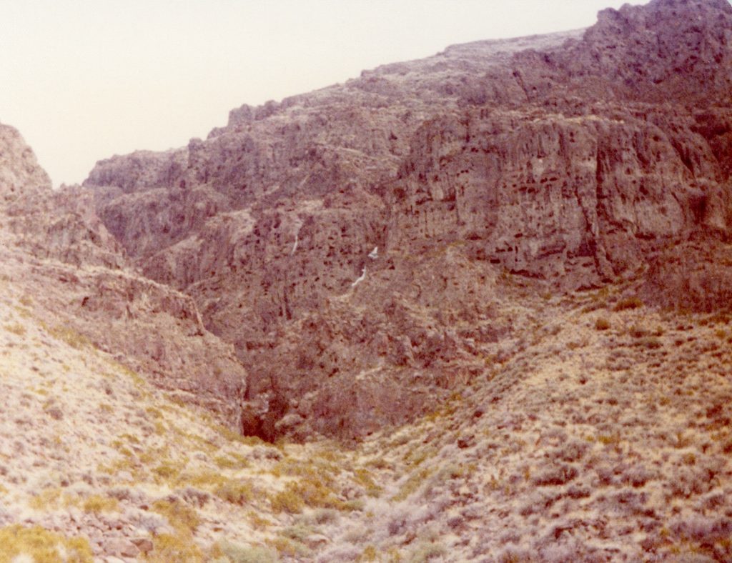
This is a somewhat non-historical post. Blame it on Covid Cabin Fever. Amedee Canyon, located in the Amedee Mountains, is about halfway between Amedee and Wendel, near the archeological site known as Tommy Tucker Cave.

A view from one of the many caves to be found in Amedee Canyon

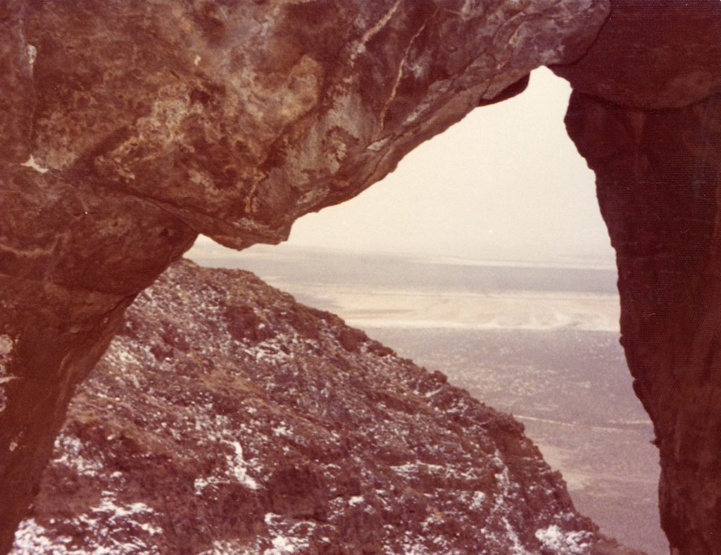
It was a late winter, many moons ago, that I hiked it. It should be noted, it is quite the hike to the entrance of the canyon. Before long inside the canyon, it is no longer a hike, more like a rock climbing expedition. Near the top of the canyon are interesting caves—one of which had ice.

A view of Honey Lake from high above in the Amedee Canyon.

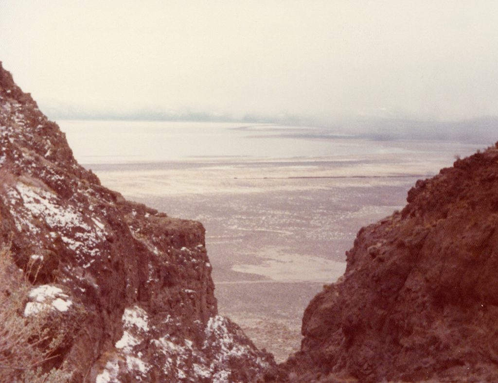
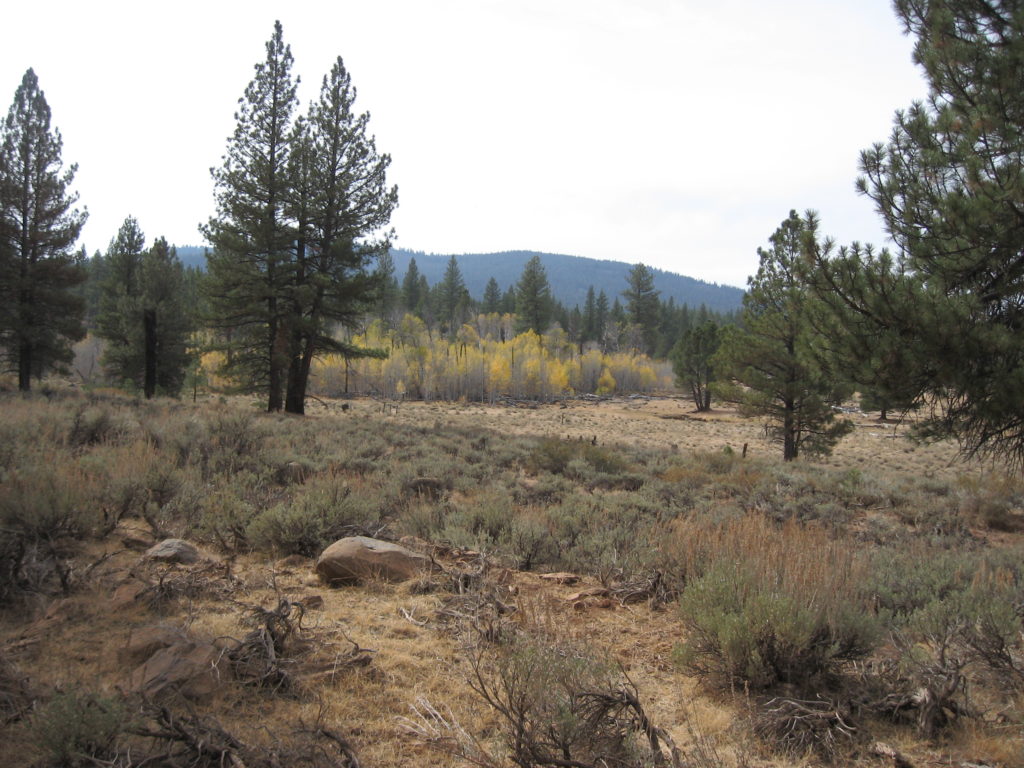
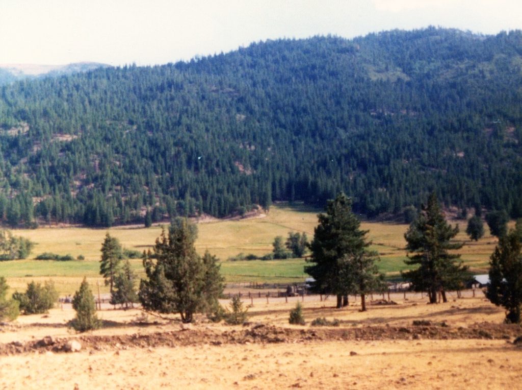
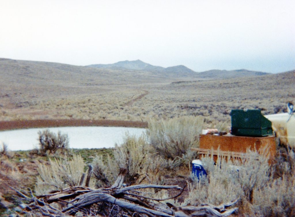
The other reward for your efforts is the view from up high overlooking Honey Lake.

Tim

Pyramid Lake Task Force

In 1969, the Pyramid Lake Task Force was established to seek solutions concerning the shrinkage of Nevada’s famous desert lake. In 1971, the Task Force submitted a proposal to Lassen County officials for their consideration. They obliged. The plan called for the exportation of 50,000 acre-feet of Honey Lake water to Pyramid Lake. The two lakes, both remnants of Lake Lahontan, are relatively close, though Honey Lake is 190 feet higher in elevation. It was their intention to dry up Honey Lake, except in the northeast corner. There a 4,700-acre freshwater reservoir would be created for a wildlife sanctuary. Adjoining it would be a holding reservoir with a capacity of 27,000 acres. A pumping plant would be built near Amedee, where the water would flow through a twenty-four mile long aqueduct to Pyramid Lake. The Task Force considered this plan the most feasible of all considered. Construction cost was estimated at $12 million, with an annual operating cost of $200,000. This did not include any litigation fees with affected properties for rights-of-way or damage payments to lakeshore owners. The adverse effects of Honey Lake being permanently dry drew heavy criticism from the local residents. The lake is enjoyed for its aesthetic beauty when full. When the lake is dry, it is a scene of numerous dust storms. Opponents were also concerned with the loss of humidity and its effects on agricultural crops. At a November 8, 1971 public hearing the Lassen County Board of Supervisors passed a resolution opposing the project. After all these years later, the problems with Pyramid Lake’s water level still has not been solved.

Donate/Subscribe

Logan Springs, Lassen County

Logan Springs, October 8, 2020

Logan Springs is located in the Pine Creek drainage west of Eagle Lake and north of Pine Creek Valley, not far from the site of former Fruit Growers Supply Company logging Camp 10. During the late 1800s and early 1900s this region was used for summer range for the sheep outfits, mainly from Tehama County.

The springs and nearby mountain were named for Griffin Logan (1842-1885), an African American, who was the foreman for J.S. Cone, a large Tehama County livestock operator. The springs are noted for its substantial aspen grove. However, on my visit last fall, we had just missed the prime fall foilage.

Don’t forget to look at the Subscribe feature.

Forest Fire Commentary

The Gold Fire, south of Adin, 2020.

When conducting research, one can easily get sidetracked, while searching for a particular item, your eye catches something of interest. This happen to me recently while working on the post about Hobo Wells Hydroponics. On the same page the Sacramento Bee of August 16, 1977 had an article about that topic, there was a report about a forest fire on the Salmon River in Siskiyou County. The Bee Correspondent Marjie Lambert interviewed some of the residents there, which they chimed in the forest service was not doing well in handling fires. Sound familiar? Herewith is an excerpt on that topic.

”Les and Johnny Bennett and their friend, Vince Elliott, agree that fires are handled wrong these days. ‘All the Indians and miners and cattlemen used to do regular burns every year,” said Vince. ‘That kept everything nice and green. That way there wouldn’t be big forest fires.

”Then the U.S. Forest Service put a stop to the controlled burns. The three men nodded their heads, saying they had it coming.

”’Now when one of these things starts it wont stop until it burns itself out or maybe in September the rains will come,’ said Les.”

Tim


Remembering Gold Run

Since this is the last day of 2020, which usually many folks reflect on the year that is very memorable to many. Personally, I have a special fondness for Gold Run. This, of course, had to deal with Frank Satica, who was an early instigator on my path to research the region’s history. For some the photographs might be bittersweet with the devastation by this year’s Sheep Fire, that the scars will be there for a long time.

Satica Ranch, Upper Gold Run, September 1975
Perkins Ranch, Gold Run, 1906—George McDow, Jr.
A view looking at the former Ridenour property with the Sella dairy in the foreground, which was located at the lower end of Gold Run, 1950s. Courtesy of Wendell V. Loughead

Tim

Crystal Lake, Plumas County

Crystal Lake, Plumas County, 1914—-C.R. Caudle Collection

Crystal Lake is located just southwest of Taylorsville. It is on my list of places to check out in 2021. 

While I do not know much about the lake, I do know about the photographer, R.E. Stinson. Robert Stinson was born in Quincy in 1882, and followed in his father’s footsteps as a commercial photographer. It was a tough trade to operate a business in a rural region. So like many others it became necessary to be itinerate traveling from community to community for business. In 1913, Red River hired Stinson as their company photographer, who at the time was located in Red Bluff. Stinson’s main job was to make a complete photographic inventory of all the buildings being constructed in the town, as well as the sawmill plant. A portion of this collection exists in the T.B. Walker papers housed with the Minnesota Historical Society. Stinson just happened to be at the right place at the right time, when Lassen Peak set off a series of volcanic eruptions beginning in 1914. Unfortunately, for Stinson and other photographers such as P.J. Thompson, are overshadowed by that B.F. Loomis, but that is another story, for another time. Stinson stay at Westwood was brief and left Red River in 1915. He later returned back to the region and when he died in 1932, he was buried in the Westwood Cemetery.

Robert Stinson
Robert Stinson’s grave at the Westwood Cemetery.

Support


Mixie Flat, Nevada

Indian Springs, Mixie Flat, October 1985

Last month, this obscure location was in the news about two travelers, who for reasons unknown, perished near there—no foul play was involved according to officials of both the Lassen and Washoe County Sheriff’s Departments.

Mixie Flat is in northern Washoe County, Nevada, just north of the Smoke Creek Desert and just east of the California-Nevada border. It is also the headwaters of the east branch of Smoke Creek.  While I do not know much about the history, I have some interesting memories camping there in 1985–the kind that you never forget. If one wants a truly memorable lifetime experience, depart Mixie Flat from the east and descend down Parsnip Wash to Buffalo Creek at your own peril.

Support

Eagle Lake Water Levels—A Spalding Tract Perspective

A view of Eagle Lake, looking towards Spaldings, 1921. Courtesy of Lola L. Tanner

This is a simple minded post. It should be noted that there are a number of Eagle Lake affeciendos on this site, so they may get more enjoyment from today’s post, than others. When Spalding Tract was subdivided in 1914, the lake was approaching its highest water level. “The Strand” the town’s lakefront boulevard, was truly lakefront. Fast forward to 2020, the lake is far, far away as seen from the below photograph taken along the shoreline looking towards Spalding Tract.

A view of Spalding Tract from the Eag;le Lake shoreline,June 21, 2020.

Support

The Modoc Line Trail

Upper Biscar Reservoir, as seen from the Modoc Line Trail.

In 1996, the Union Pacific Railroad received permission to abandon    an 85 mile segment of railroad from Wendel to Likely. Since then it has been converted into another “rails to trails.”  It should be duly it was the NCO Railroad that initialy constructed the line and in the 1920s it was acquired by the Southern Pacific  Railroad.

Map showing the route from Karlo to Horse Lake Road.

Personally, I prefer the segment from Karlo, Secret Valley to Horse Lake Road. While, I do not have a preference which way to approach, I think its best to travel it each way, since doing so one sees different perspectives of the area. 

Foundation remains of the Horse Lake Siding, is one of many sites to see. January 27, 2019. Courtesy of Anna Stewart

Subscribe