Tag Archives: Honey Lake Valley

Buntingville, Lassen County

The Buntingville Post Office operated from 1883 to 1920

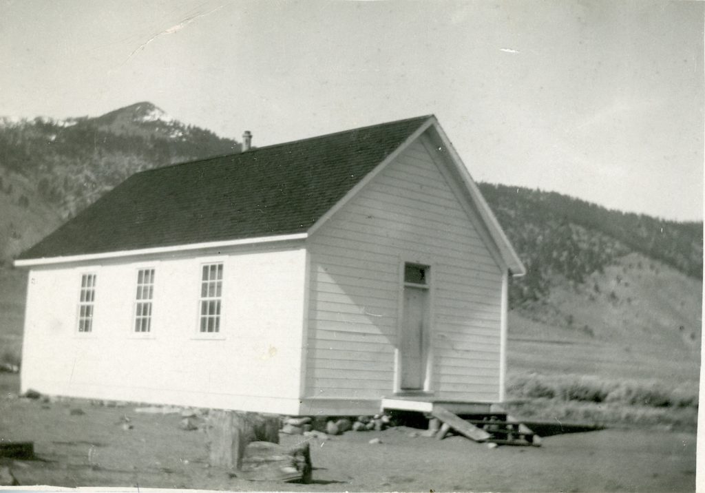
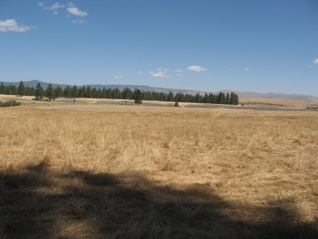
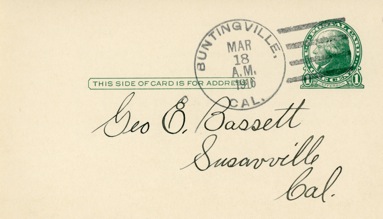
Today, Buntingville, a few miles south of Janesville, is just a mere wide spot in the road. Yet, back in the day it was strategically located at the intersection of the Alturas and Reno Stage Road. Today, it is part of the focal point of the cut-off of Highway 395 from Buntingville to Standish, i.e. County A-3, for those traveling north or vice versa.

In the early 1870s, Alexander J. Bunting (1836-1903) located there and operated a stage station to accommodate travelers. Bunting only had a squatters claim to the land that he occupied. In 1883, Bunting moved to Lake County, Oregon, where he spent the remainder of his life.  In 1878, Edward A.Weed, editor of the Lassen Advocate, while visiting Buntingville, humorously suggested that the name be changed to Catville, “There being more cats and kittens to the square rod than any other place we visited.”  In the late 1870s and early 1880s Buntingville flourished, and gave serious competition to its rival Janesville.  Serious debate was held as to where to build a new flour mill for the region—Buntingville or Janesville? In 1882, Janesville became the victor. While Buntingville lost out on the flourmill proposal, it continued to thrive for some time.  In 1900, the small community could boast of its own newspaper, the Buntingville Breeze.  The paper was short-lived, for after two months, its editor and publisher, Mike Phillips, who also operated the town’s general store, moved his enterprises to Standish. 

 Buntingville’s claim to fame, that it was the headquarters for the Honey Lake Valley’s first telephone company.  On July 10, 1911, the Honey Lake Valley Mutual Telephone Association incorporated as a co-operative.  In 1924, the group had over 200 subscribers from Standish, Janesville, Milford, and Richmond.  Plagued with financial problems, it was taken over by the Lassen Telephone Company on July 21, 1924. 

Support

Bird Flat, Lassen County

Bird Flat School

The Honey Lake Valley is made up of various districts. Take for instance, the area along Highway 395 where The Mark is located as well as the Herlong access roads. This region is known as Bird Flat. In the spring of 1858, John Byrd settled at this location and brought with him 700 to 800 head of horses.  That made him one of the largest stock raisers in the Honey Lake Valley.

Subscribe

Marion Lawrence aka Commanche George

Looking toward’s Lawrence’s grave from Lassen’s Monument.

He is a little known figure in the early annals of Lassen County.  He was one of six men to spend the winter of 1855-56 at Peter Lassen’s newly constructed a cabin.  Prior to his arrival in the Honey Lake Valley, Lawrence had spent considerable time in Butte County where he earned the nickname “Commanche George,” though the circumstances behind the episode is not known. Like many prospectors he roamed the region, though never finding what he was looking for. In 1864, Lawrence and B.F. Murphy established the Buffalo Salt Works in the Smoke Creek Desert. In 1868, he was residing with the David Titherington family, who purchased Lassen’s ranch from the estate. On December 22, 1868, Lawrence died from small pox, that had become an epidemic in the area.. He was buried a short distance north of Peter Lassen’s grave, with no marker.

Subscribe

Joseph Lynch, Lassen’s Surviving Partner

September 16, 2018. Courtesy of Jim Chapman

Just because one enters into a partnership with a person who has a high profile name, does not guarantee success. While Peter Lassen enjoyed name recognition, his many business ventures had a lot to be desired. In 1851, in near exile from failed pursuits, Lassen and his partner, Isadore Meyerwitz operated a trading post in Indian Valley, Plumas County.

In late June 1855, Lassen along with partners Joseph Lynch, William Gallagher and Samuel Knight began to develop a mining claim on unamed creek in the Honey Lake Valley, to be later known as Lassen Creek. Work would come to a halt, when the water flow from the creek became too low for work to continue. The four men returned to Indian Valley. Lassen was not going to give up. That fall, along with Meyerwitz and Lynch, with plenty of provisions in hand returned to establish a camp at their claim and to spend the winter. A log cabin 10 feet by 12 feet was constructed a half mile or so west of the large ponderosa pine tree. it (The cabin was later enlarged to 16’ x50’). Three other men would join them—Marion Lawrence, John Duchene and Newton Hamilton. The following year some of men sought other claims. Even Lynch had settled on claim along Parker Creek south of Janesville, but eventually returned back to the cabin.

After Lassen’s death in 1859, his estate sold Lassen’s Ranch where he was buried to David Titherington. It did not include the property where the cabin was located and Lynch laid claim to that property. In 1880, Lynch secured a 160-acre federal land patent to that property.

As if he knew his day of reckoning was at hand, at the age of 73, Lynch sold his 160-acre homestead to W.P.Hall on October 20, 1885 for $1,000 with the provision to a life estate to the property. Lynch died that December. In 1896, Peter Vogt who had purchased the property from Hall, burned down the dilapidated cabin that Lassen, Lynch  with other comrades had constructed in the fall of 1855.

Subscribe

Honey Lake’s Bridge to Nowhere

Proposed Cromwell-Milford Road

Earlier this year I wrote about the proposed town of Cromwellthe current location of Herlong. In the spring of 1912, Fred Cromwell, the promoter approached the Lassen County Board of Supervisors to construct a new road from Milford, with a 1800 foot bridge across Honey Lake to his new town. The Board took the matter under advisement with a wait and see approach to see what would materialize of the development. It was a good call, because by the end of the year the proposed community of Cromwell was abandoned.

Donate

Name that peak – the answer

Honey Lake, with Skedaddle Mountain in the background, 1997.

Hot Springs Peak at an elevation of 7,680’ is the highest point on the Skedaddle Mountains. So named for the Amedee and Wendel Hot Springs located at the base of the mountain. Skedaddle was a Civil War term used primarily by Southerners to “flee.”  The mountain was named by the Kidder & Ives state boundary survey of 1863, when they had a skirmish with the Smoke Creek band of Paiutes, in which ultimately the latter fled.

Subscribe

Shaffer Mountain, Lassen County

Looking up towards the top on the east flank of the mountain. June 13, 2018

On September 8, 1862,  the Shaffer Brothers—James and Uriah- purchased George W. Lathrop’s 1,280-acre ranch and station, that he established in 1859, for $4,250.  The station did a brisk business as a major stop on the Nobles Trail/Humboldt Road. However, trade dropped off dramatically with the construction of the transcontinental railroad to the south.  In 1868, in conjunction with a depressed economy, the Shaffer Brothers were forced to file bankruptcy. The property was auctioned and purchased by their brother-in-law, Daniel Samis, for $5,347.  A month later, on May 19, 1868, Samis sold the property to Thomas J. French and Andrew Litch for $2,500, a substantial loss for Samis. Even though there stay in Lassen County was brief, the mountain that they resided near its base is named for them.

It should be noted that the location of the ranch and station is that of Mapes Ranch, east of Litchfield. In addition, the California Division of Forestry had a lookout on top of the mountain from 1931 to 1949.

Subscribe

Nataqua Territory

Fredonyer’s Claim to what would become Susanville.

On April 26, 1856, twenty settlers in the Honey Lake Valley gathered at Roops cabin and held a “mass convention” to establish a territory of their own.  After all, the group concurred, they were not residents of California and they did not want to be under Mormon domination of the Utah Territory whose boundaries extended to the eastern boundary of California.  They named their new government Nataqua Territory.  Nataqua, or Natauga as it is sometimes spelt, purportedly, was a Paiute word for woman.  Their land grab was grand to say they least.  They carved out a territory, 240 miles long and 155 miles wide, almost two-thirds the size of the State of Nevada.  Ironically, the legal description of their new sovereign state, excluded themselves. Roop’s home, for instance, was located 35 miles west, outside the their western boundary.  The Nataqua Territory, in essence, served as a form of local government to provide an avenue to protect their rights and to handle local land affairs.  The territory served as a foundation until a more formal government was established. In 1857, the Nataqua Territory was abandoned when an attempt was made to form the Territory of Sierra Nevada.

Subscribe

The Island

A view of Honey Lake and the “Island.” June 13, 2018

Actually, it is somewhat of a misnomer, as it is actually more like a peninsula. What I am referring to is a large area that encompasses approximately 13,000 acres that is surrounded on three sides by Honey Lake. Between 1905 through 1919, there were numerous homesteads there. In 1911, the Honey Lake Irrigation Company constructed a water pumping plant and several miles of irrigation ditches on the east side of the Island to reclaim the sagebrush lands using water from Honey Lake. The project failed for several reasons. There was a federal court injunction that prohibited the Company from using governmenrt lands as right-of-ways to convey the water. This was a matter that first had to be resolved at the State level. California law had never addressed this issue—how water from a lake with no outlet could be appropriated for irrigation. It took the State two years to render a decision. By the time the legal issues had been settled, interest in the project had waned. Additionally, in 1917, Honey Lake went completely dry.

Donate

Cromwell, Lassen County

The Cromwell subdivision.

Nearly twenty years after the planned community of Honey Lake City had fallen, another real estate speculator arrived on the scene. In 1909, the place became the junction of the Nevada-California-Oregon (NCO) and Western Pacific (WP) railroads, and that enhanced the site. A location with access to two railroads had appeal for development.  But this place had one drawback—water, or more specifically, the lack of it. Continue reading Cromwell, Lassen County