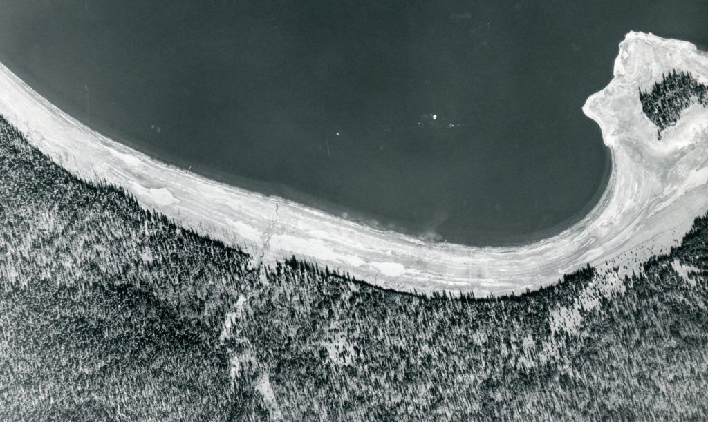
In the fall of 1941, the Lassen National Forest implemented the use of aerial photography as a tool to manage the forest’s resources. However, while the aerial mapping was completed, the outbreak of World War II suspended the work.
In February 1946, the project was brought back to life, to utilize the aerial photography taken five years ago. The forest service was pleased with the program. One of the many benefits, was that forest service personnel could conduct other kinds of field work than surveying during the summer. In the winter months, the aerials provided work for staff to plot out and design new roads, etc.