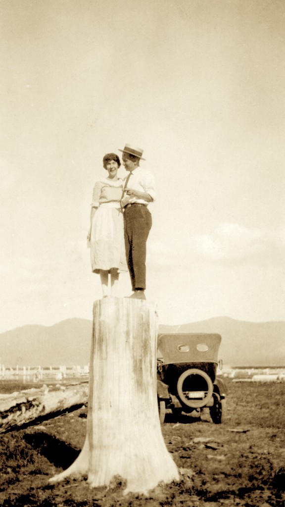
Gallatin Beach has certainly evolved over the years. During the 1910s, the beach did not exist, due to the high water levels of Eagle Lake. By 1917, Eagle Lake reached its peak high water mark, and on the south shore, considerable timber was flooded, killing trees some hundreds of years old. In the 1920s, the water level of lake began to recede, in part by Bly’s Tunnel and equally important the region was in the midst of a 20-year drought.
The result was what some referred to as a stub forest of dead trees that were now a part of the beach’s landscape. Visitors to the area used them for photo ops.
In 1915, Professor S.T. Harding began studies of the water variations at Eagle Lake. Harding examined the stub forest to obtain data on the lake’s elevation. Harding studied the tree rings and the elevation of a number of trees. That provided him information concerning the levels of the lake dating back to 1420! By taking the lowest submerged trees (the oldest one was found to be a 245-year old stump at the elevation of 5,116, that was submerged in 1895), he determined the lake level had to be at 5,115 feet or less from 1650 until the time it was submerged. Another stump examined placed its initial growth between 1420 and 1520, and during that time period the lake had to be at an elevation below 5,099 continuously from 1420 to 1520. In addition, Harding also examined trees at the 5,126 foot elevation that were found to be over 400 years old that substantiated the fact that the 1917 level of 5,125.2 was the lake’s highest level.

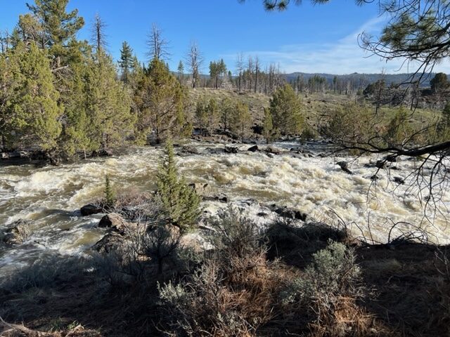
As of May 1, 2023 the lake’s elevation was at 5093.62. At the time of that reading, Pine Creek was a raging torrent, so lake should see significant rise during the month of May.