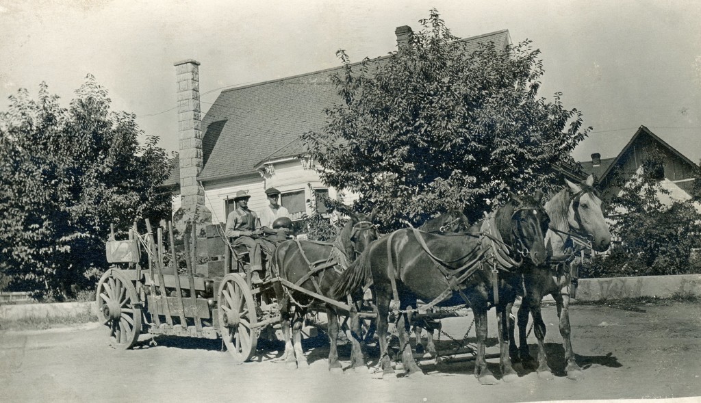
During the Civil War of the 1860s, communities in support of the North, applied Union to street names, squares, etc. Susanville was a perfect textbook example.
Typical of the era, map makers were one dimensional. Susanville’s original plat, shows Union Street extending beyond Cottage and connecting Weatherlow Street at the Richmond Road bridge. There were two problems. First the proposed street would dissect the block that was home to the Susanville School District. The other was the physical restraint of the hillside for Union to connect with Weatherlow. During the messy title problems of the 1870s, caused by the town’s founder, to rectify this particular situation, that segment of Union to Weatherlow was abandoned.