One of the perennial questions concerning Honey Lake, when it has water, is its depth. It is a relatively shallow lake, known to go dry for extended periods. There are a number of variables about the depth, due to the fluctuation of the level of the lake. The east side of the lake is the shallowest. Carl Caudle a civil engineer who resided near the lake’s eastern shore from 1909 to 1942 monitored the lake level there. On an average he recorded a depth of two feet. However, in the spring of 1914 and 1938, both years of record breaking precipitation, the east shore had a depth of six feet. The west side of the lake has the deepest points up to twenty-five feet during years of heavy precipitation.
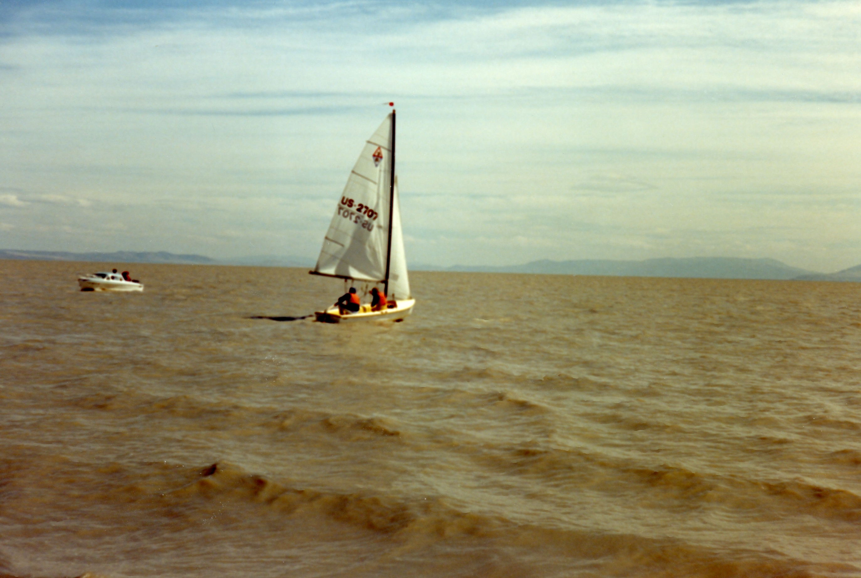
In late December, 1940 Asa Brown and Jack Sawyer, state fish and game employees conducted a sounding of the lake. They started at the northwest corner, using a measuring pole took measurements every 300 to 400 yards. They recorded a maximum depth of 10.8 feet, and the shallowest at two feet. The lake on the average varied between four and ten feet. In the spring of 1987, Mark Totten and several others participated in an informal sailboat regatta on the lake. Using a depth finder, the areas traversed on the lake averaged seven feet.
As to the history, I have heard that before so many ranches took the water, Honey Lake was full year round, and a ferry ran across to the hot spring on east shore. Can anyone verify this?
I used to live in Milford and I too have heard the story of a ferry with a steam engine.