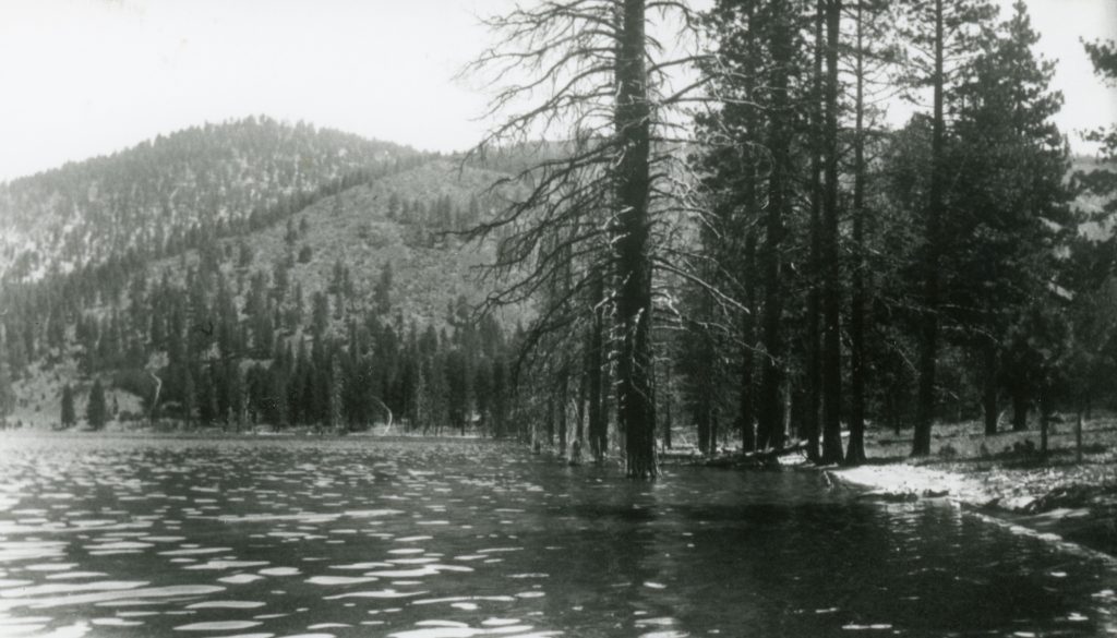
In the spring of 1917, Eagle Lake reached its highest level ever known at 5,125 feet. For the previous ten years the region had experienced one of its wettest known periods. Since the Anglo settlement of the 1850s the region had been void of any prolonged drought. There would be one and maybe two years of below normal precipitation years. Between 1875, when the Government Land Office provided the first accurate level of the lake, to 1917, the lake’s water level had risen fourteen feet. At that time, the lake covered a surface area of 29,000 acre-feet. Between the Bly Tunnel and successive droughts in 1937, its surface area had been reduced to 16,000 acre-feet.
So after this wet winter we have experienced, the level of lake as of April 3, 2017 stood at 5095.78, and the level of the lake has risen nearly five feet since November 1, which information was provided by Lassen County Surveyor Don Willis, who monitors the lake’s level every month.