Maps like their counterpart photographs add another dimension to the story. It does not matter whether drawn by cartographer or a simple hand drawn its all relative to illustrate a point. Then there is an instance where a map shows the unexpected. The government soil survey of the Honey Lake Valley (1915) depicts a NCO railroad station known as Italy south of Amedee.
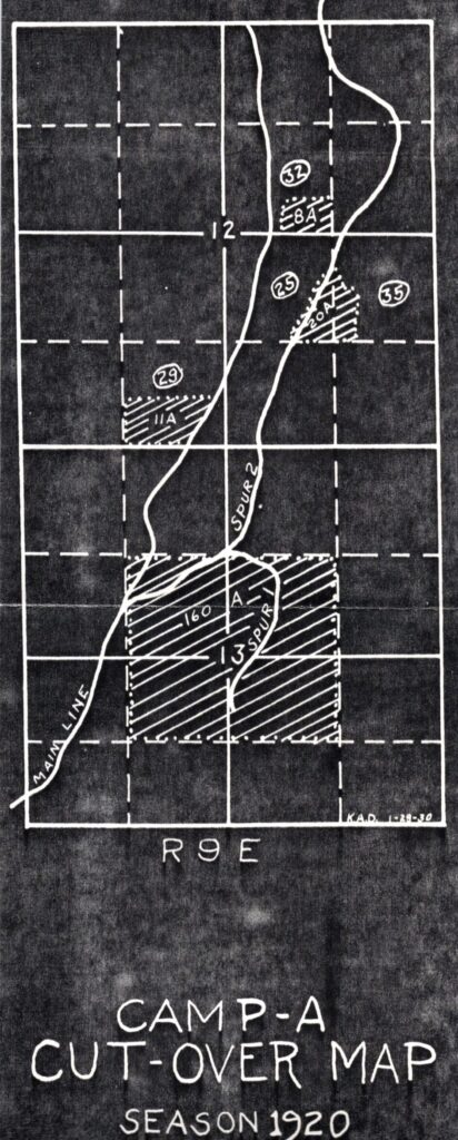
The above illustration is the 1920 Cut-over timber map of the Fruit Growers Supply Company near McCoy Flat Reservoir. These maps were done on an annual basis. The Lassen National Forest Service had a similar map, since the timberlands of the forest service and Fruit Growers were co-mingled, that Fruit Growers was awarded a huge timber sale known as the Pine Creek Unit that the duration was thirty years.
Tim