In the spring of 1856, with settlers arriving in the Honey Lake Valley they realized they needed to form some type of self-government. They did not believe they were part of California and did not want to be a part of the Utah Territory, there was no Nevada then. On April 26, 1856 a group of twenty-men assembled to form the Territory of Nataqua.
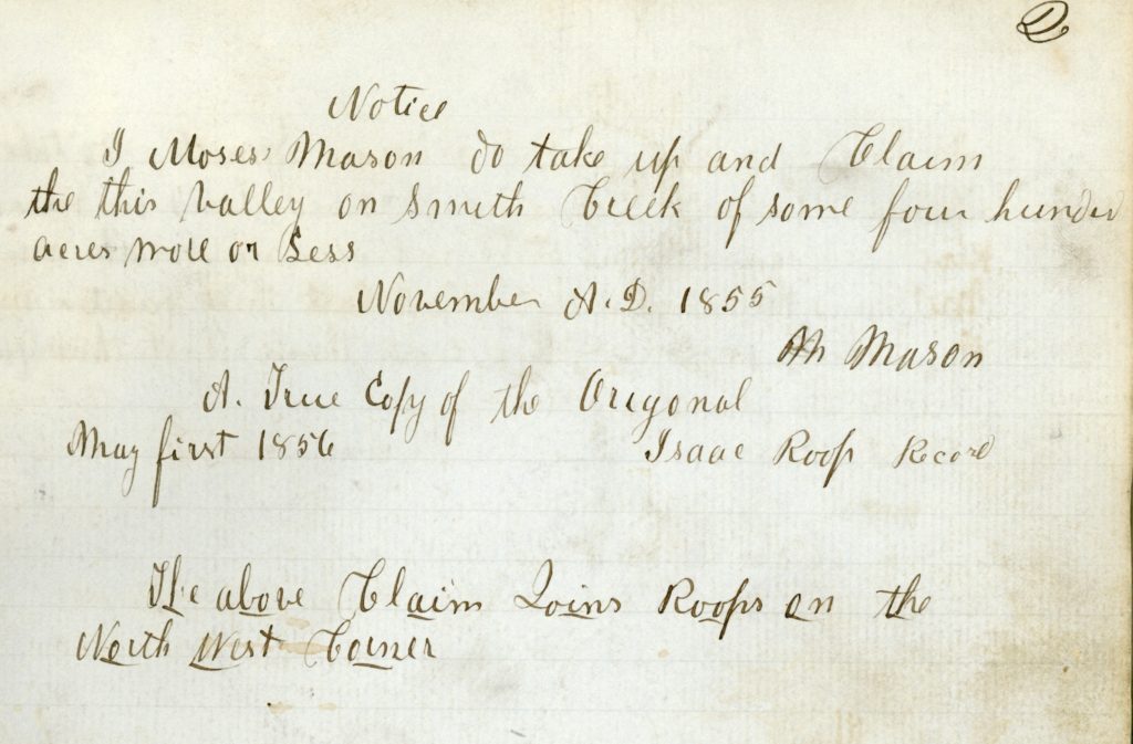
As to land matters, any male twenty-one years or older could claim 640 acres of land to be recorded with the Recorder, which Isaac Roop assumed that role. A number of claims had vague descriptions. Whatever, the case may be, it worked for them. In 1857, some individuals began documenting their claims or the sale of such in the form of a deed with the Plumas County Recorder. By 1859, a few hardy souls ventured all the way to Marysville to file a claim with the United States Government Land Office, the nearest one available. By 1861, the Roop Land Register was rarely used.
When Lassen County was formed in 1864, the original County Board of Supervisors did something unique. They paid Plumas County to transcribe all land transactions of Honey Lake and Long Valleys prior to the formation of the county. This is why Book A. Deeds, Lassen County starts in 1857.